Dwayne Hodgson

A Portfolio

The work and adventures of Dwayne Hodgson,
+ Learning Designer & Facilitator at learningcycle.ca
+ Storyteller & Photographer @ thataway.ca

Filtering by Category: uk

Filtering by Author: Dwayne Hodgson

Travel by Map #6: United Kindgom

United Kingdom:
England & Scotland

During our nearly five weeks in the United Kingdom, we travelled close to 2,500 km by train in southwest England, car in Scotland, and punt in Oxford, not including several hundred kilometres around London on the Underground

Here is an interactive map of our journey. 

The London Underground

Here is a map of the subway system in London

Our London Scenes - Part 2


Discovering My English Bits

As anyone who has bought me a beer has undoubtedly heard, I am one-ninth Irish. 

Half of the rest of me (i.e. 4/9ths) is Dutch, and the other half consists of vestigial bits of English colonial baggage filtered through five generations of Southern Ontario WASPness. (This probably explains how I can manage to be charming, stubborn and anal retentive all at the same time...but hey, what can I do? It's my heritage). 

Years ago, I explored my Celtic soul on a hitch-hiking trip around the coast of Eire with my friend, Mike. But this Schagen Zone holiday in the United Kingdom has been my first real chance to get in touch with my inner-Englishman. 

Here are a few pictures of our last few weeks in London. Click on any image to enlarge it. 

The UK is a place that you think that you know. Indeed, you can't turn a corner in London without a sense of déjà-vu; it all looks so familiar from all the movies and TV shows that are set here. And after travelling in four countries where English is not the first language, it was a relief to suddenly be able to understand everyone and read all the signs, maps and headlines.*

But I quickly realized that despite my patrimony and linguistic proficiency, I really am a foreigner here too. It's subtle, but there is a lot more going on here in the social interactions and mannerisms than I had understood.

I mean, it's like going to another country. :-) 


Watching the English

Sensing my culture shock, our hosts, Heather and Isabel, very kindly lent me a copy of Watching the English: The Hidden Rules of English Behaviour by Kate Fox (2005). As a social anthropologist, the author tried to take an objective look at her own culture to decode the unwritten codes of conversation, class and well, just about everything.

Through this lens she observed that, in general, the English:

  • value their privacy very highly -- to the point that no one talks to strangers on the tube, or even in a museum when your kids are playing together;
  • take queueing very seriously -- for the Tube, for a pint at the pub, for pretty much everything -- and jumping the queue is a very serious offence;
  • are often socially awkward, and thus have very strict practices about small talk (the weather), banter and introductions -- it's like a nation of Hugh Grant characters;
  • have a propensity for saying "sorry" all the time, but not always in ways that imply an apology (that sounds somewhat Canadian);
  • interject a layer of ironic humour into any conversation, no matter how serious the topic and/or engage in "moaning" about almost any topic;
  • tend to be self-deprecating, as it is considered crass to brag about one's accomplishments (e.g. "I work at a hospital" may actually mean "I'm the leading brain surgeon in the UK"-- which of course, is not exactly "rocket science")
  • are obsessed with social class, but never talk about it openly --- that wouldn't be proper. But apparently everyone is immediately aware of each other's social class based on their accent, vocabulary, clothing, food and drink, the kind of car they drive, etc. Moreover, unlike in Canada, your class is not necessarily connected to your actual wealth or income, and it is virtually impossible to move up the class ladder no matter how much money you make.  
     

Suddenly, so much of what I was observing here made perfect sense :the silent Tube cars, the polite line-ups for everything, the strange pub etiquette.....And for the first time I kind of understood that the formality and verbosity of my childhoood Anglican church maybe wasn't so much a theological matter as just vestigial Englishness. 

And also with you. 


Watching England Change

Of course, England (and the wider UK) is changing. Since joining the European Union, millions of East Europeans have moved here to work, to the extent that Polish is now the second most common language here in London (albeit at 2% of the population and 98% of the plumbers).

The urban areas of the country are now a veritable curry of cultures and languages, and you're just as likely to find a Turkish, Nigerian or Polish restaurant in many parts of town as a pub advertising "proper British Food" -- lovely with mushy peas

Not everyone is happy about this, however. Some of the support for the English nationalist party in the recent national elections reflects a backlash against this recent wave of immigration, as well as the "English" asserting their own nationalism in the face of Irish, Welsh and now resurgent Scottish nationalism. But I would say that this cultural diversity gives London a great cosmopolitan vibe, and it is one of the world's truly "global"cities. It will also be interesting to observe how much of the "English" culture is adapted by newcomers, and how much they change it. 

Hmm...perhaps I should have been an anthropologist. Maybe next career. 

But for now, I will just say a quick "Cheerio" to the UK as we head off to my other mother-land tomorrow. 

Cheers! / Tot ziens!...

p.s. A MASSIVE THANKS again to our friends, Colin, Kyle & Jane, Michael & Suzanne, and Heather & Isabelle for hosting us here. 


Isaac, in particular, was keen to let out 8 months of pent up small talk. He positively gushed as he talked to Heather about all things Star Wars, Marvel vs. D.C. and Premier League. 

Lessons Learned on the Road - Episode 3

As we've written before (Episode 1 & Episode 2), Zoe and Isaac have been  "Road Scholars" this year.  This has included:

  • tonnes of independent reading -- Isaac has really hit his stride on this trip;

  • some math practice using Jumpmath and IXL (" 'cause it's good for ya! that's why!");

  • journal and blog post writing, as well as some practice with cursive and printing; 

  • some other online learning (big shout out to Crash Course educational videos!); and

Our recent visits to Morocco and the United Kingdom have also included  a heap of "world-class," experiential learning in history, geography, social studies, ecology, and cross-cultural communication. Here are some highlights: 

Zoe at the Jardin Marjorelle, Marrakesh

Zoe at the Jardin Marjorelle, Marrakesh

Morocco

  • the Old Medina in Fez, a 30-square-kilometre, largely covered, medieval market-place -- the largest car-free space in the world -- although there are plenty of donkeys; 
  • Volubulis, the best-preserved, ancient Roman city in North Africa;
  • the Islamic pilgrimmage site at Moulay Idriss, where Muslims who can't afford to make the Haj to Mecca can apparently visit five times instead;
  • the Bab Mansour gate and the nearby Mausoleum of Moulay Ismail in Meknes
  • Tromping around the town of Chefchaouen, with its very walkable and very blue medina, from which we did a couple of great day hikes; 
  • La Maison de la Photographie in Marrakesh -- a great collection of large-format black and white photos from historic Morocco;
  • Jamaa el-Fnaa, the main square of Marrakesh, where we saw snake charmers, drummers and vendors
  • the Saadian Tombs,  Marrakesh;
  • hiking in the Atlas Mountains (near Imlil) to mountain passes covered in snow.
  • zip-lining and high ropes near Marrakech; 
  • Jardin Majorelle, a botanical garden / art museum in Marrakesh; 
  • a trek on dromedaries into the Sahara Desert, where we slept overnight at a Berber camp;
  • a walk by the Hassan II Mosque in Casablanca -- unfortunately, we missed the visiting hours, but the outside sure was impressive; one of the largest mosques in the world, Isaac tells me.


Zoe and Isaac put their money down on Canada -- Trafalgar Square

Zoe and Isaac put their money down on Canada -- Trafalgar Square

United Kingdom

We're looking forward to learning more in the next legs of our trip. Stay tuned. 

In England's Green and Pleasant Land

Greetings from across the pond. Here are a few pictures of our brief visit to Oxford and Bath the week before last.   


Oxford

I finally made it to Oxford, albeit not via the Rhodes I had less travelled.

The place looks a lot like Hogwarts.

Thanks to John for the personal tour of Christchurch College and leading us on the pilgrimage to the Eagle and Child to see where Hobbits And Wardrobes were brewed up.  We even tried punting on the river. Much harder than it looks! 


Bath

After a night visiting Kyle and Jane and their now grown up boys in Bourton On The Water (the "Venice of the Cotswalds"), we took the train to Bath.

This is where the Romans, the Georgians, and now the Ottawans, came to "take the waters" -- and a few pictures. We really enjoyed the excellent museum documenting the Roman baths. But I found the Georgian architecture of the town a bit Austen-tatious. :-)

Thanks very kindly to Michael, Suzanne, Annalee and Nicholas for hosting us and for the great tour of Bath. 

Our London Scenes - Part 1

London....where do you even start?


Two thousand years of near continuous habitation, notwithstanding wars, plagues and great fires. It is now home to over 8 million people, as well as the Queen, Dickens, Sherlock Holmes, the Underground, Diana, one-quarter of the Premier League, Henry VIII (and presumably Henries 1 through 7), Big Ben, the Thames, the London Eye..... 

And although it is not the biggest city that we've visited, it is certainly the best-documented (e.g. see the Mapping London site for a great selection of infographics and maps).  And of course, all the signs are in English, so we really have no excuse for getting lost.

London is also and chock-a-block full of museums, galleries, parks, historical sites, restaurants, pubs and coffee shops.....There is so much to see and do here. To quote the ever-quotable Samuel Johnson, 

"Why, Sir, you find no man, at all intellectual, who is willing to leave London. No, Sir, when a man is tired of London, he is tired of life; for there is in London all that life can afford."

(Which is rather odd, because in our short experience, London is anything but affordable! But who am I to argue with the second most-quoted person in the English language?). 
 

Some Rooms of Our Own

We got off to a great start thanks to our hosts, Isabel and Heather, who met us at London Bridge and gave us a crash course in navigating the Underground and Light Rail network. They then graciously allowed us to sit on their house in Lewisham, where we enjoyed their extensive library of books about all things Londonesque, as well as the complete Harry Potter collection (again!).

We're now flat-sitting for another friend, Colin, in the North-West postal code.  It's been great to have a place to cook, do laundry and plot out our next expedition. (Thanks again, everyone!).
 

You Are "Now"

As a recovering INTJ, I always like getting the "big picture" of a city's geography and history before we start exploring. So one of our first visits was to the Museum of London to learn the story of how a small town grew, faded, grew, grew, got infested, burnt, was fought over, grew, grew, got bombed, grew, got bombed even worse this time, never surrendered, prevailed, declined, swung, rioted, recovered, became the capital of late capitalism, grew again and hosted the Olympics. That pretty much sums up all you need to know, but if you'd like a visual, check out this timeline of London's more "recent" (i.e. post-1000) history

We're happy to add a small part to that story. Below is a first instalment of pictures so far. Please click on each thumbnail to see it in the full screen mode. More to come another day. Cheers! dh

Notes from The Underground

I've never been to a city where I've spent so much time underground. Or more precisely, on THE UNDERGROUND,  London's famous network of subways and trains. 

The Tube opened in 1863 and was the world's first underground train system. Over the years it has electrified and expanded and currently it boasts: 

  • 270 stations;
  • 11 lines with 402 kilometres of track,  52% of which are actually above ground; 
  • 1.23 billion passenger rides in 2012/13, making it the 12th busiest transit system in the world) (Source: Wikipedia)

"The Tube" takes its nick-name from the cylindrical shape of tunnels, many of which were constructed by cutting in to the earth, laying the tracks and then building a round roof over top -- the so-called "cut and cover" method.  

Travelling by Tube is a bit like being a gopher:  you burrow this way and that way without having any sense of which direction you're going and then you pop out in a strange new place, dazed and blinking in the bright light of day. Or perhaps more accurately, it's like being an ant that queues up with all the other ants running hither and yon through the various tunnels, each grasping a crumb of something important to bring to the Queen. Of course, ants are more social than most English people because they greet each other.... But I digress. My point is that getting around this way gives you a somewhat disjointed experience of the city. 
 

Finding Our 'Way Out' & About

This disorientation is not necessarily improved by the pile-of-spaghetti that passes for a map of the Underground: 

Exhibit A: The Map of the Underground. You are here....or there. Beats me. 

The current Tube Map is based on the iconic, topological or schematic map by Harry Beck (1931),  The map, as we've found out the hard way, is not to scale; it only shows each station's position relative to the next. Whether the stops are 200 m apart or 1 km, the spacing on the map doesn't change. I guess like any map, it needs to compromise some accuracy in order to show the important details

Each Tube station is indicated by either a "tick" for standalone stops or an open circle if it is a junction. Their names echo the classic English names you've likely heard in school and in movies: London Bridge, Charring Cross, Piccadilly Circus, Baker Street (!), Waterloo... They also include:

  • Canada Water, Canary Wharf, East India Quay, West India Quay-- ports on the Thames where goods from different British colonies or trading partners were unloaded;
  • three stations with the name "Stratford": Stratford, Stratford International, and Stratford High Street -- but all of them, we learned were nowhere near the Stratford;
  • four stops called "Clapham" -- Clapham North, Clapham South, Clapham High Street, & Clapham Common 
  • five stops with "Ruslip" -- Ruslip, Ruslip Manor, West Ruslip, South Ruslip, Ruslip Gardens
  • six stops with "Acton"....well, you get the point. But you have to be very precise with your directions. 
  • Finchley Road and Frognal ... "Frognal": I just like that name. Not to be confused with Frognal House....."
  • Tooting Bec and Tooting Broadway...not sure what goes on there. 

Combining track and station names can lead to some amusing directions, for example, "Take the Northern Line west until you get to Clapham South." No wonder we get lost! 

Fortunately, we've been able to use a combination of Google Maps and a few dedicated Tube apps to navigate our way, at least until we go, er, underground where there is no cell service. Then you have to fall back on Beck's map or one of its many detailed-excerpts that are posted in the train cars, albeit reoriented into a neat horizontal strip that will fit above the windows. A polite, recorded message will then tell you what the next stop is, what other lines you can transfer to, and of course, to be sure to "Please mind the gap". 

Tube stations themselves are full of advertising -- London is the place where all musicals go to die, but instead keep playing forever -- and instructions, constant instructions everywhere you look: "Mind the Gap", "Keep Left", "Keep Right" "Keep Clear of the Doors", or "Way Out" (exit). The elevator, sorry "lift", at our local station even includes a recording for how to ascend correctly. The voice reading the instructions has a very posh Bri-tish accent that sounds suspiciously like Her Royal Majesty. Maybe she needed the pocket change? Dunno. 

The Tube is quintessentially English and clearly an integral part of the lives of Londoners. Indeed, this city of 8 million+ wouldn't be possible without it. (I'm not sure that they can all fit above ground, come to think of it). Life underground precedes with typical English order and politeness. Queueing etiquette is strictly observed, as is the norm of not looking at, never mind speaking with, strangers at all costs. Personal privacy is apparently highly valued here.

Contrast this with our experience of riding in dala-dalas (mini-buses) in Tanzania: 18 adults squashed into a mini-van, cheek-to-cheek in the heat and humidity of Dar es Salaam. It would be awkward not to talk with someone whom you're on such intimate terms. 
 

This is London...Next Stop: The World

The iconic Tube Map has inspired other transit systems around the world to copy its style and methods. Here are some maps from a few places that we have visited (or we're hoping to visit) on this trip: 

Travel by Map: Adventures Lost & Found


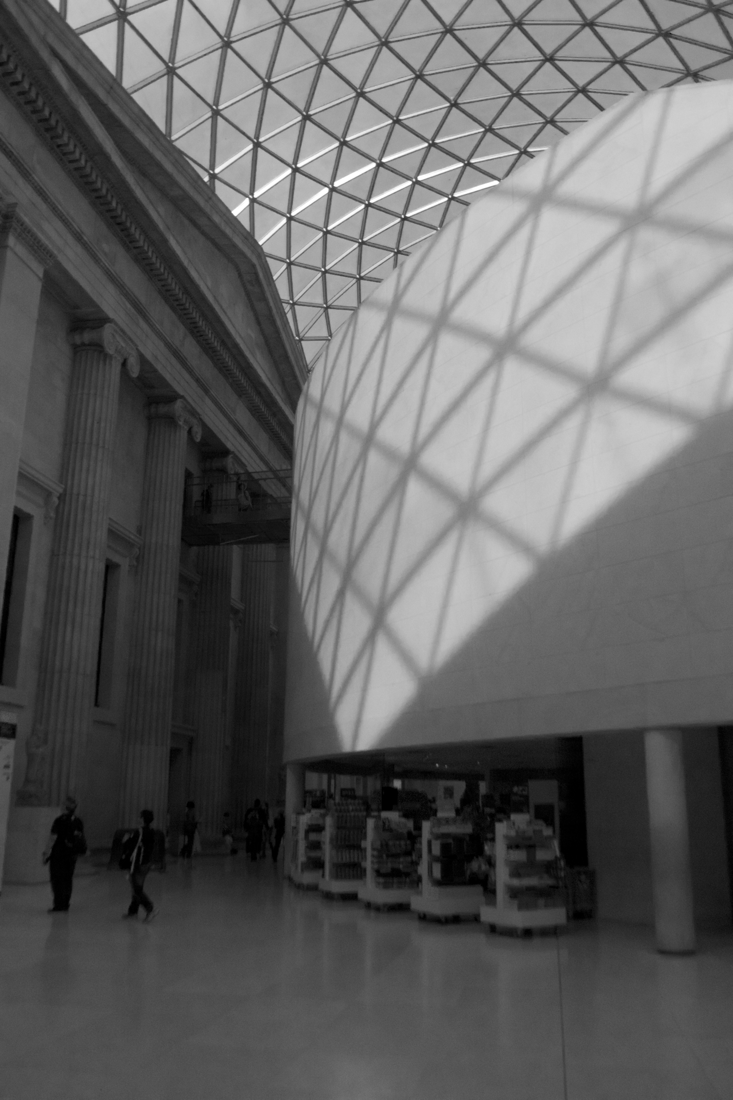
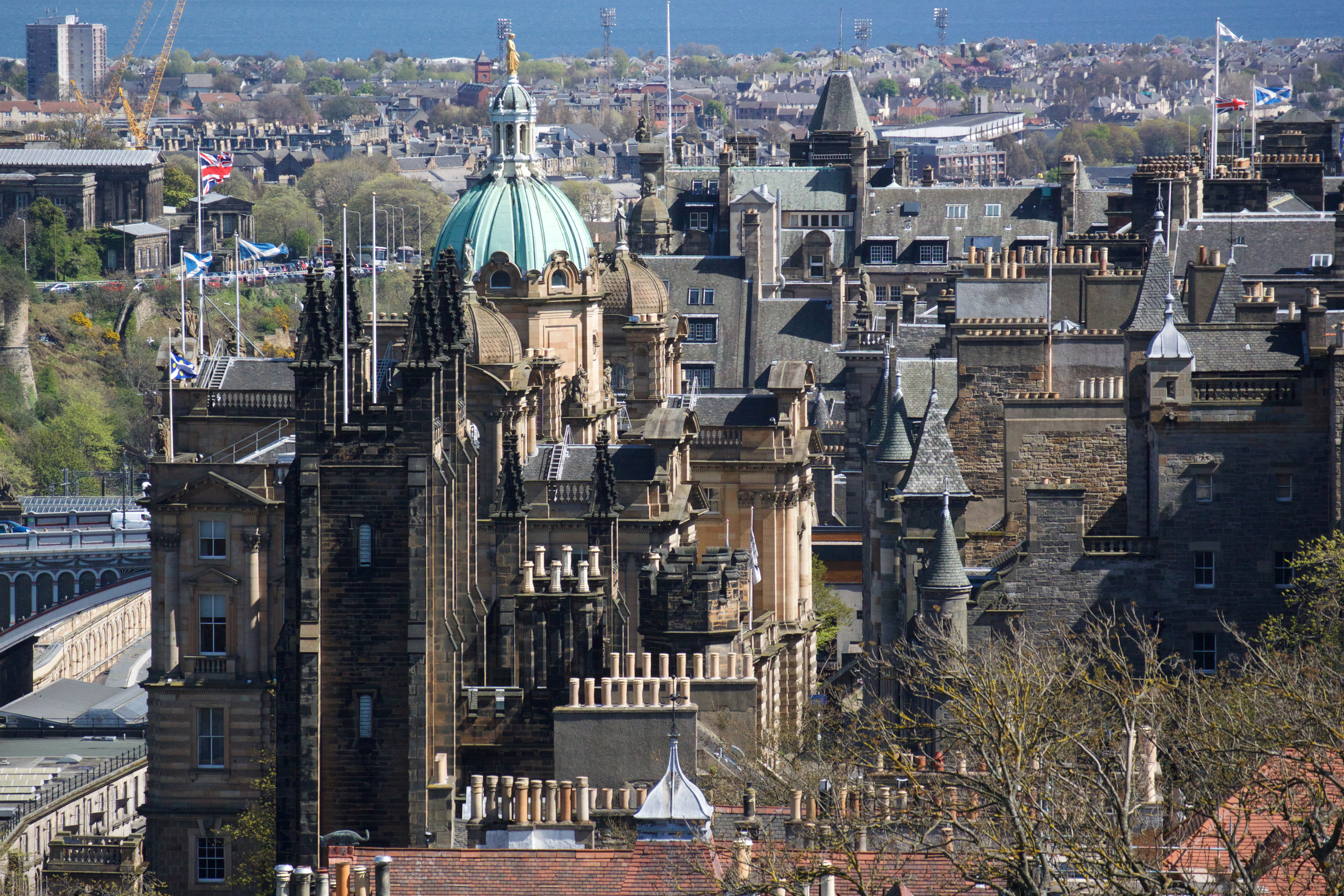
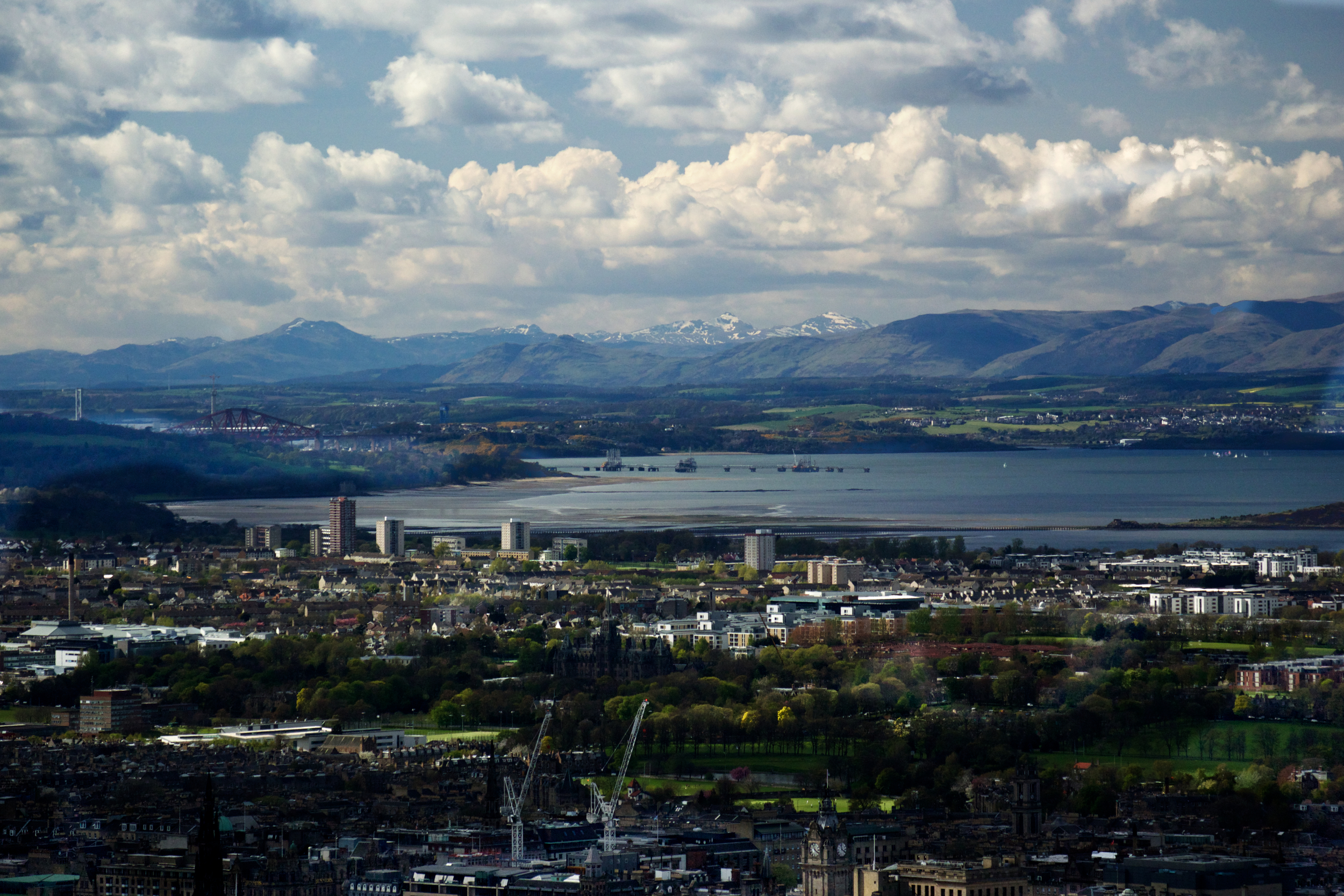
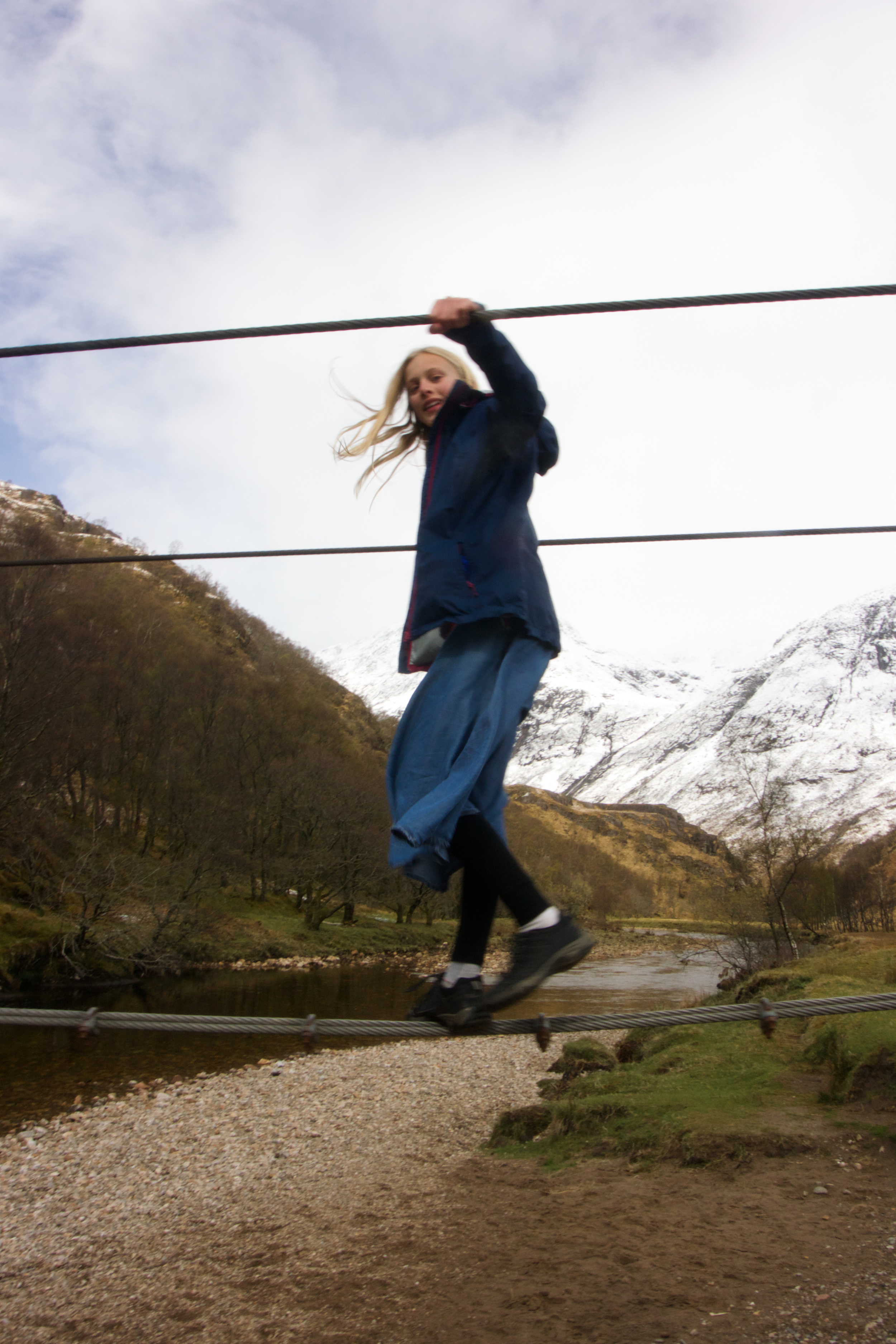
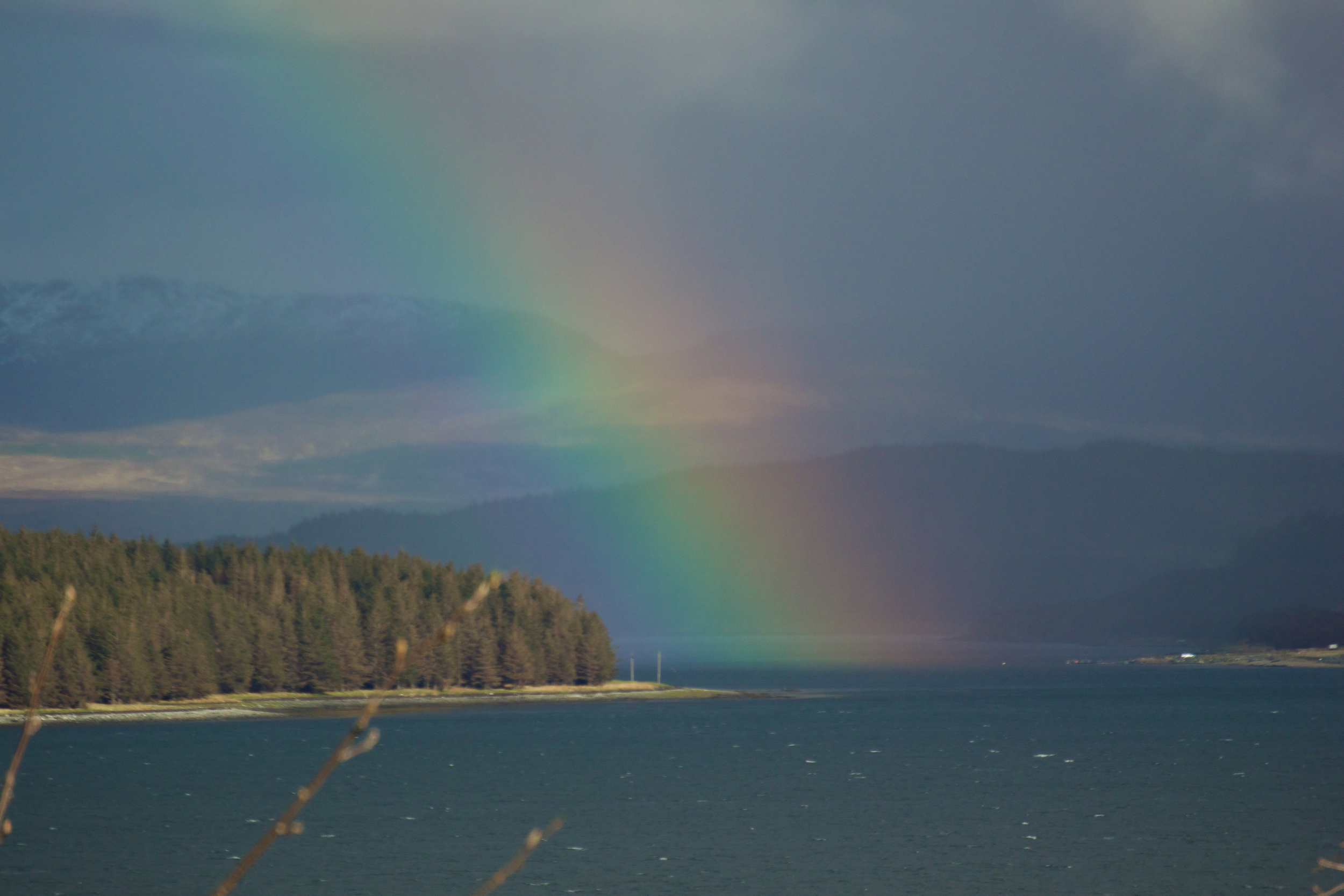
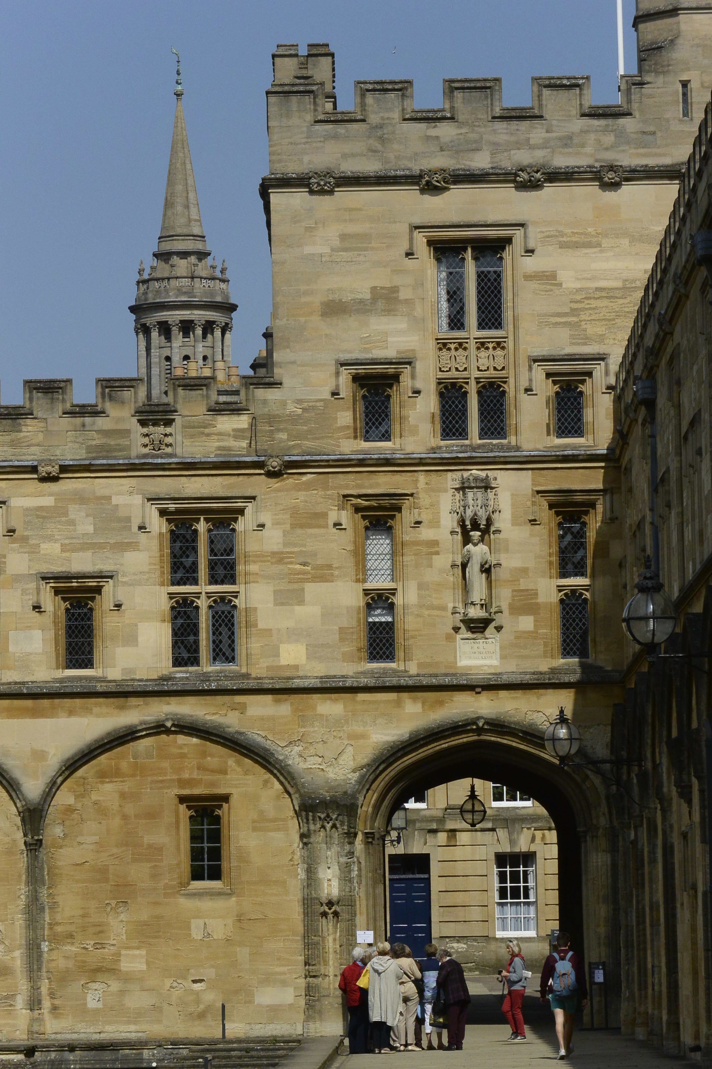
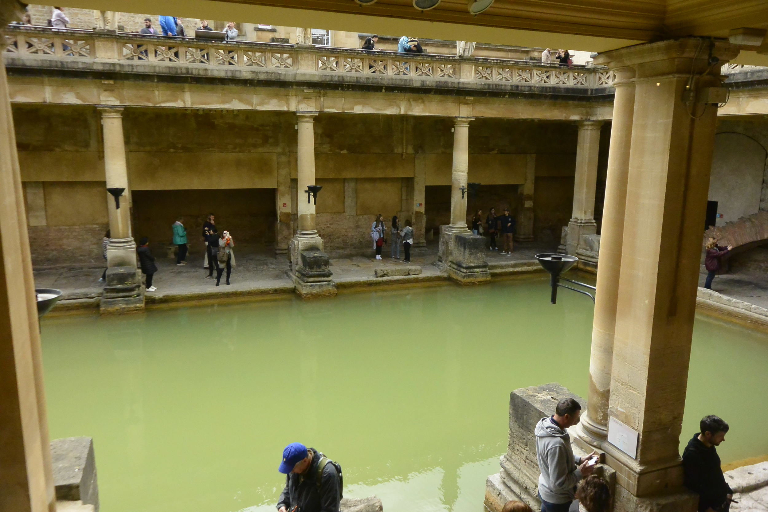
I've always enjoyed maps. As a kid, I pored over the charts of Middle Earth in the Lord of the Rings paperbacks, tracing the adventures of Frodo and company. I spent hours lying on the living room floor flipping through the large-format, 1971 World Book Atlas sounding out the names.  Later, I made my own maps for Dungeon and Dragons' adventures, coining faux Elvish names that probably were closer to Welsh, come to think of it. 

My son, Isaac, has apparently inherited this interest from me. In the year leading up to this trip, we had posted a whiteboard map of the world in our dining room on which we drew xylene-inspired, desire lines of where we might go, Aeroplan willing. This prompted Isaac to draw upon his formidable knowledge of countries, flags and football teams to contribute his own itineraries:

 "On Monday, we could go to China. Then on Tuesday we'd go to Grandma and Grandpas, and then on Wednesday, we could go see Chelsea play...".

Apparently eight-year-olds are not constrained by the space-time continuum. 
 

Mapmaker, Mapmaker, Make Me a Map

As we've been travelling, I've been perusing Jeremy Brotton's book, A History of the World in 12 Maps, a reflection on how cartographers from Ptolemy to Mercator to Google Earth have tried to visualize the world. Its a fascinating review of how each mapmaker saw their own geography and even their cosmology, as well as how imperfect and subjective any depiction of the world is. 

"A map," Brotton writes, "always manages the reality it tries to show". And as one reviewer noted, "cartographers cannot help but betray their own centre of gravity". The way that we see, interpret and explain the world in a map, globe or online atlas invariably reflects our own perspectives, biases and ultimately our worldview

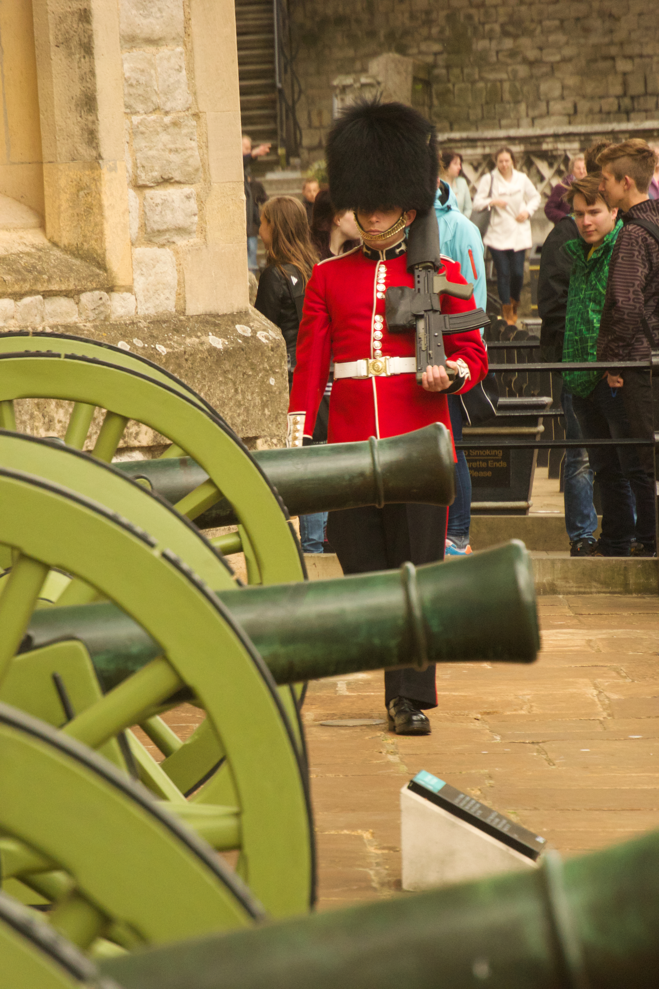
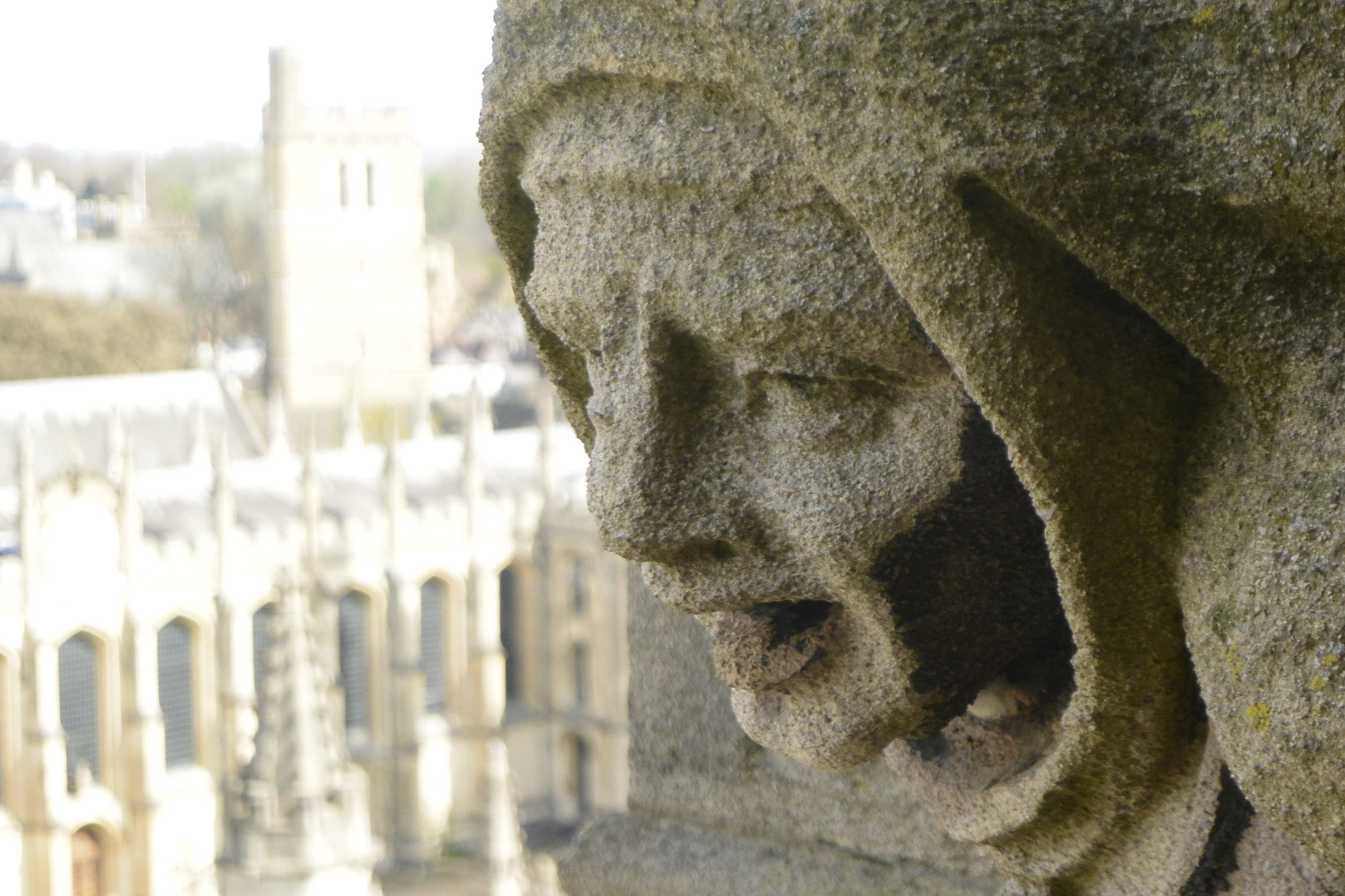
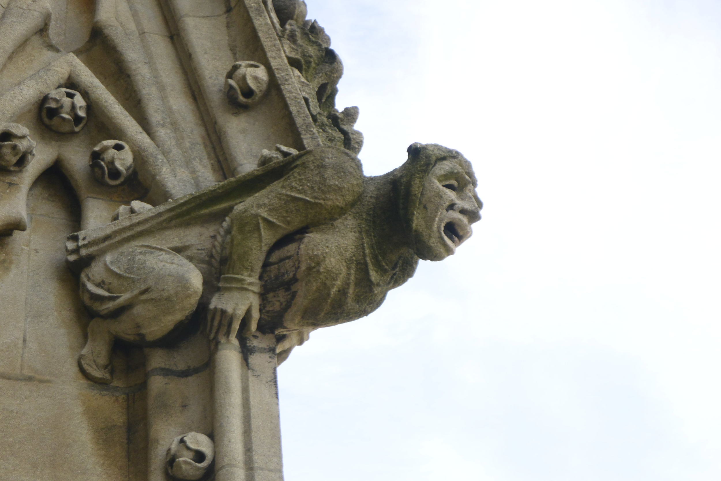
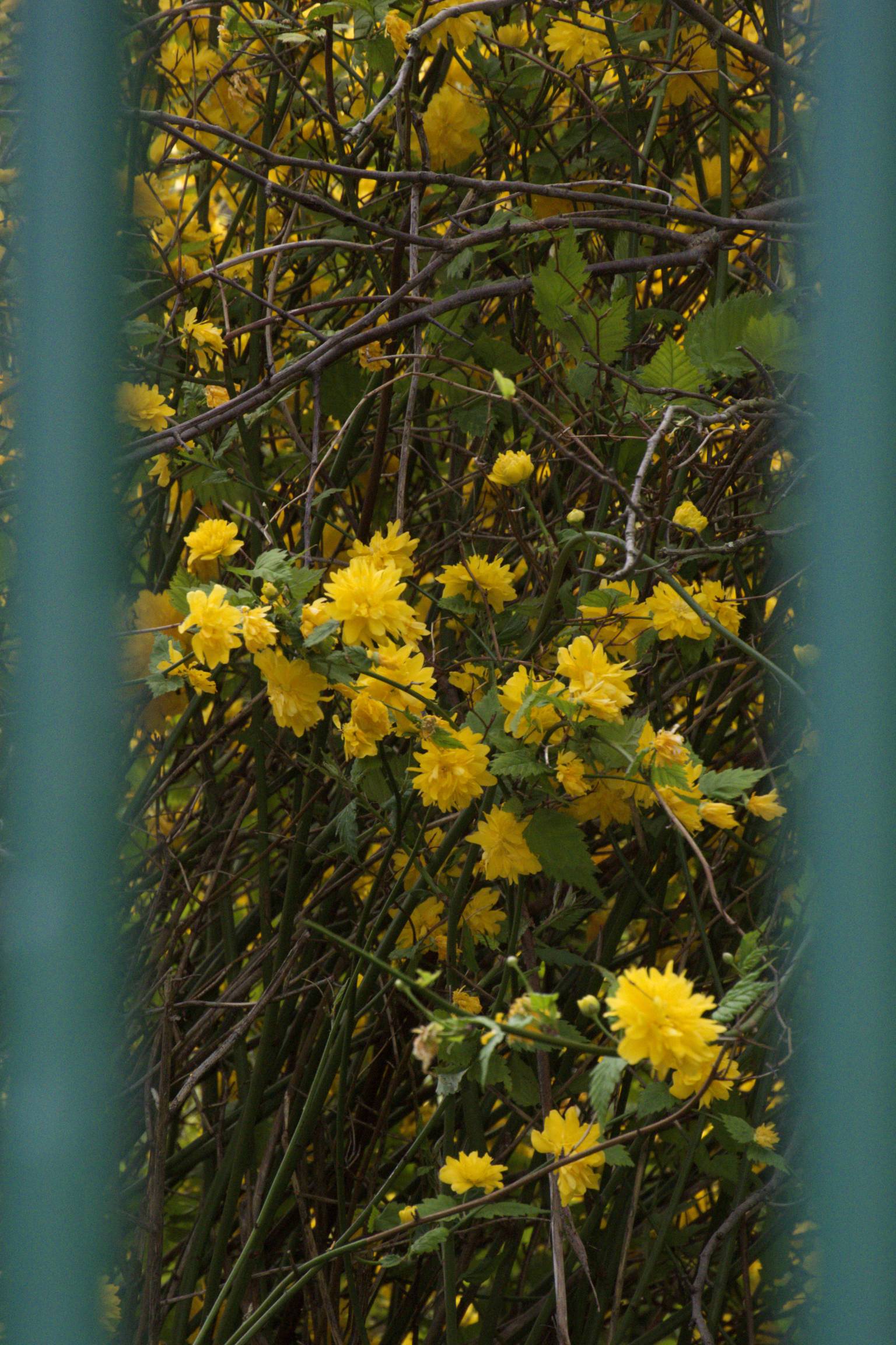
As such, their maps centred on their own political and economic interests, and they portrayed the new world to their own advantage, even going so far as re-allo-locating entire islands to suit their land claims. The world was still big then, mysterious and dangerous: so they adorned often the known-world's edges with monsters most foul and curious: There, be dragons!

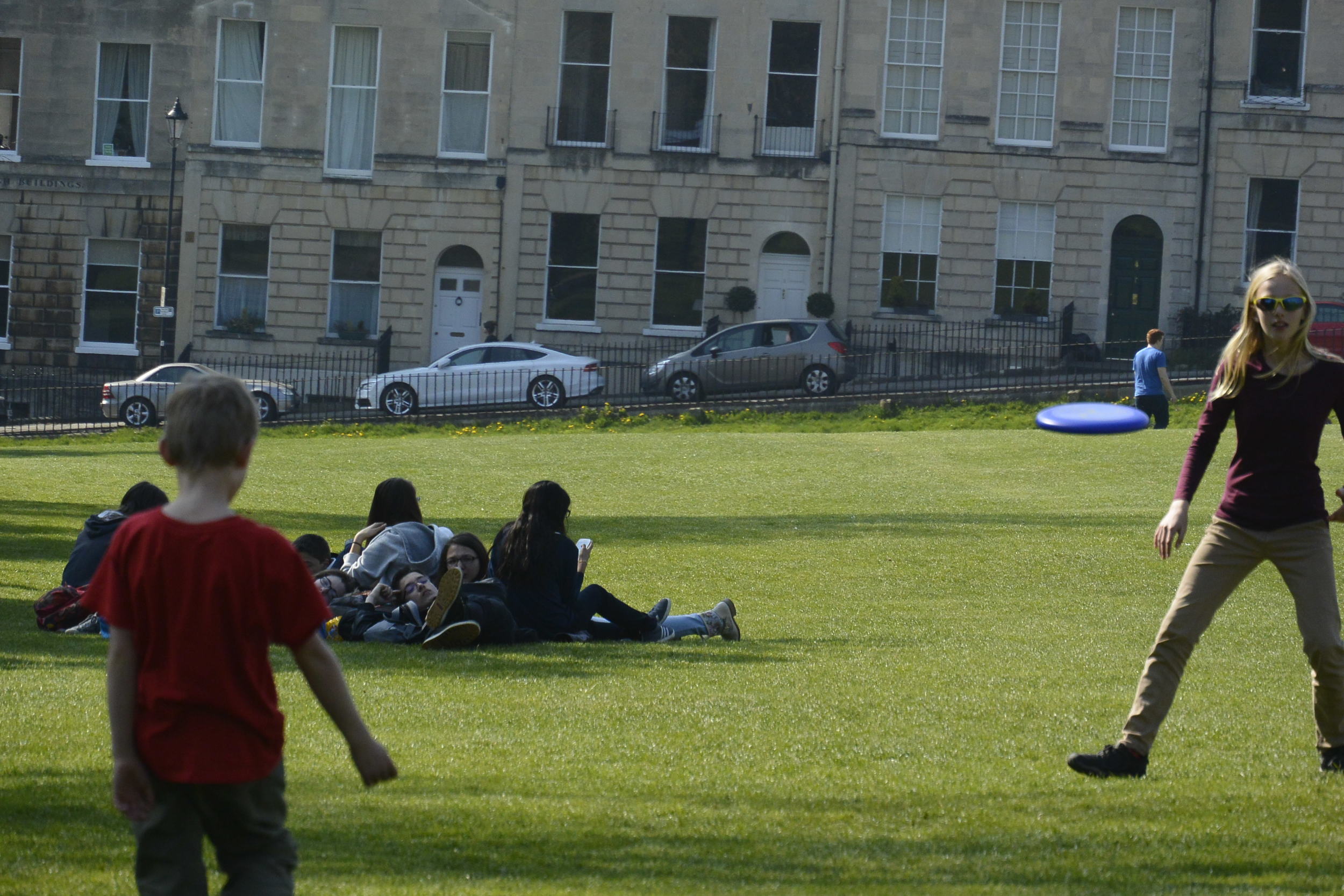
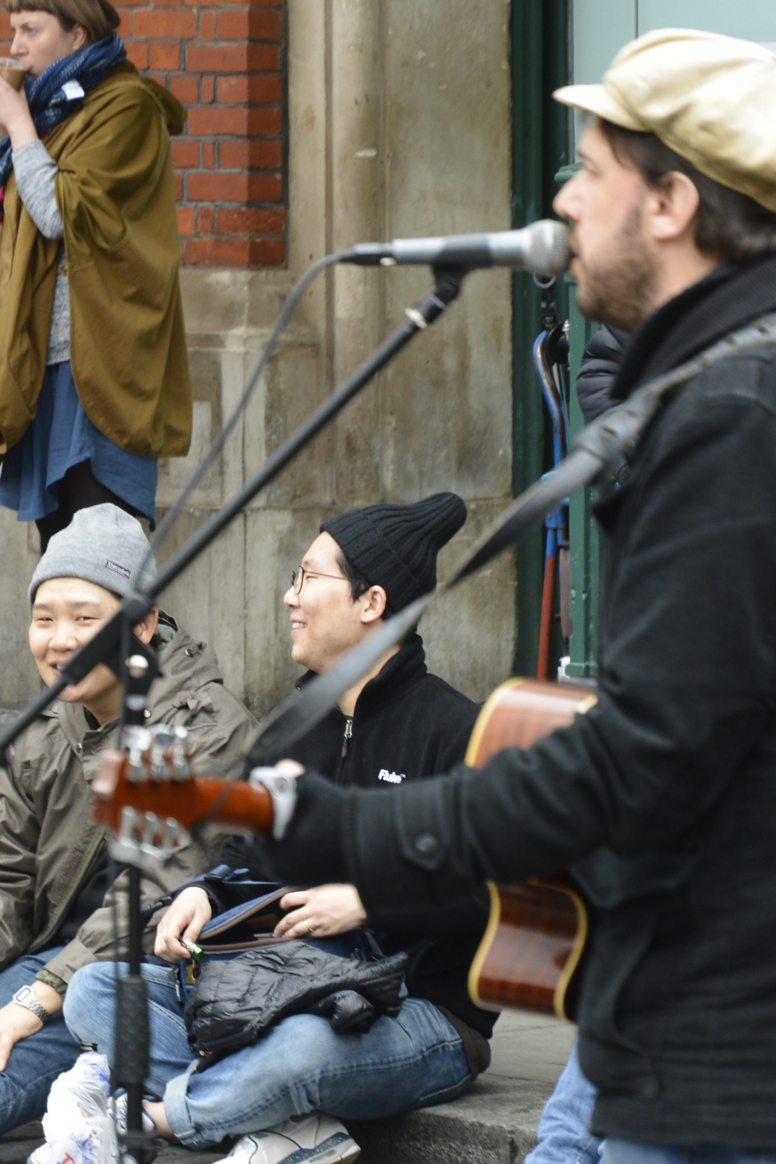
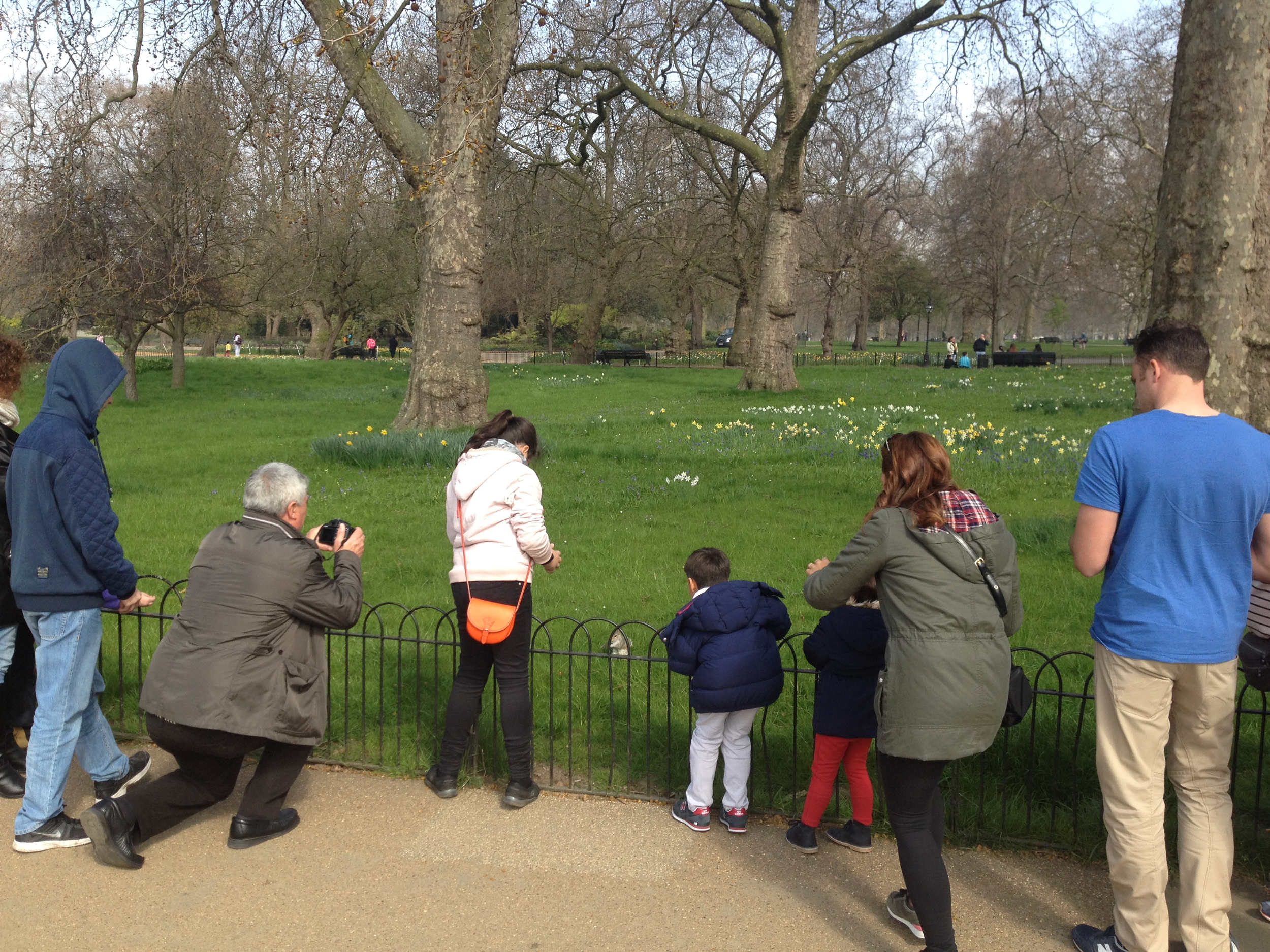
Of course, the same applies to the pictures and the stories that we share when travelling: we tend to share the exotic images from any place: sunburnt men in djellaba's riding donkeys in Morocco, or busy market places in Tanzania.  I'm far less likely to take a photo of a bunch of teens wearing Puma trainers talking on their iPhones. It's too much like home.... even if it that would be a truer depiction of contemporary life in an increasingly global hip-hop, youth culture. 

Similarly, I dare not bore my dear readers telling quotidien tales of the many hours spent on buses, standing in queues or doing laundry in a hotel room sink (Oh my! They've mixed the colours with the whites in the cold wash!).  

No! Our intrepid readers to hear the good stuff: terrifying tales of turbulence, legends of luggage lost, camels spitting me in the eye.....these are the adventures that they pay me the big bucks to write. 

Well, okay, nobody actually pays me anything to write about our adventures. (If you don't like them, they're free). But take it from the one travel writer who apparently is able to make a living through travel writing:  

"An adventure is never an adventure when its happening," writes Tim Cahill in Hold the Enlightenment. "Challenging experiences need time to ferment, and adventure is simply physical and emotional discomfort recollected in tranquillity." 

That certainly resonates with our experience.  It usually takes weeks and a glass of something tranquilizing before we can safely deem it an adventure. But invariably these are the travel stories that we tell for years.

("And then her tied-dyed pyjamas bled all over the merino..."The horror! The horror!").
 

All Those Who Wander, Probably Are Lost In Our Case

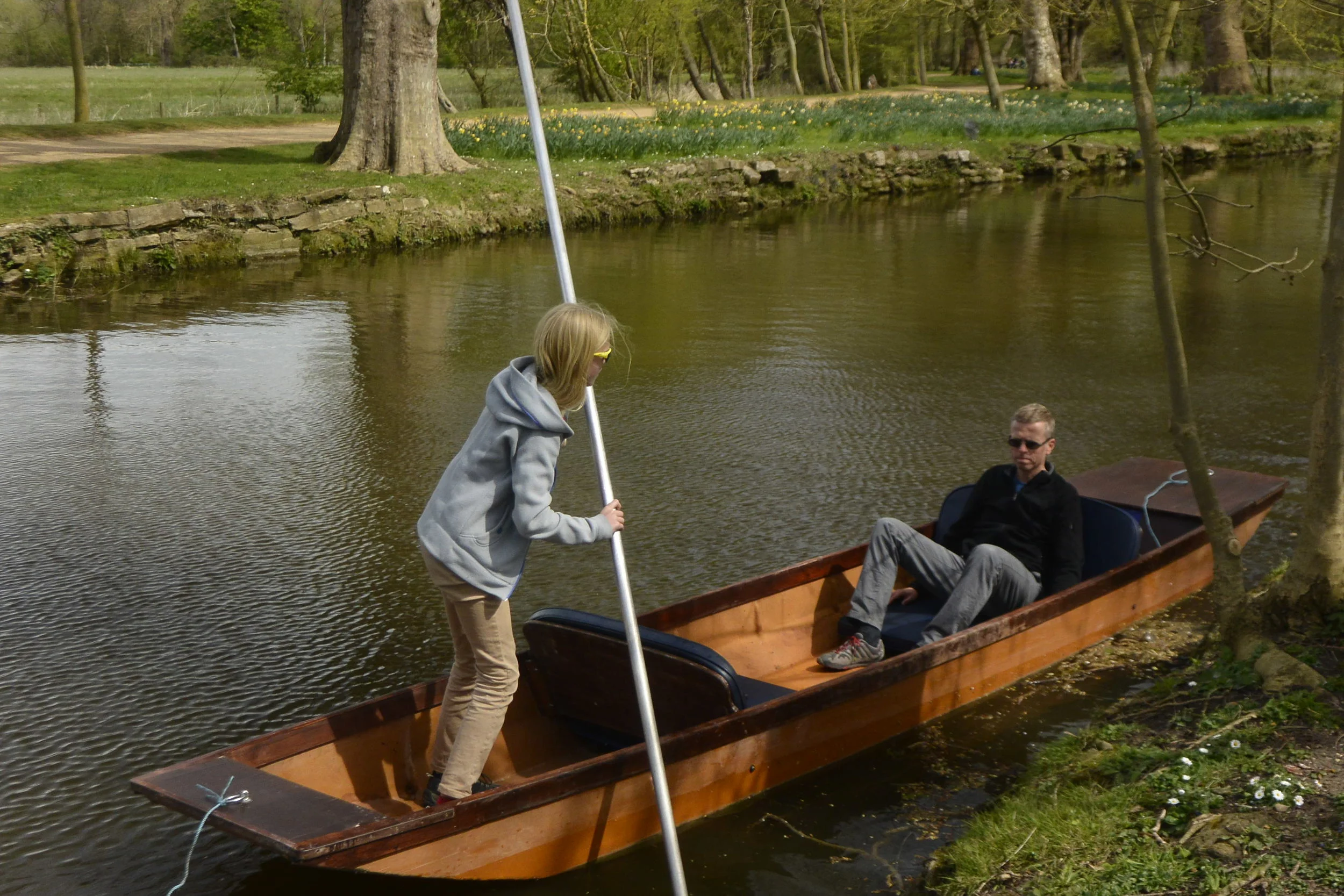
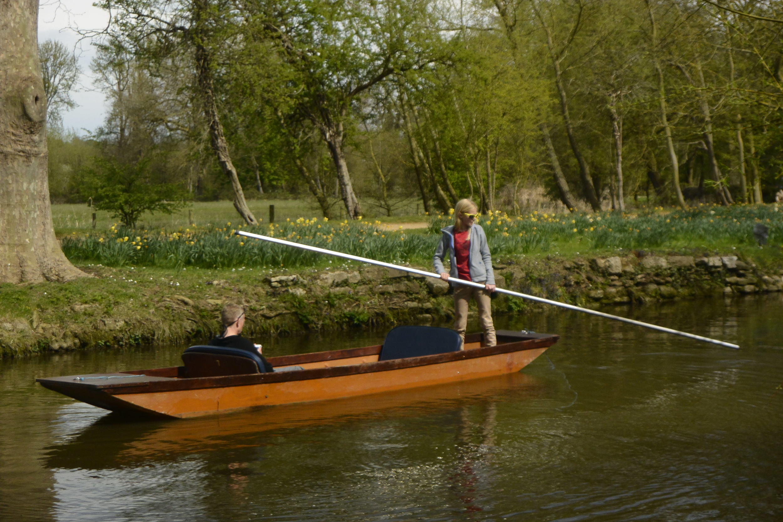
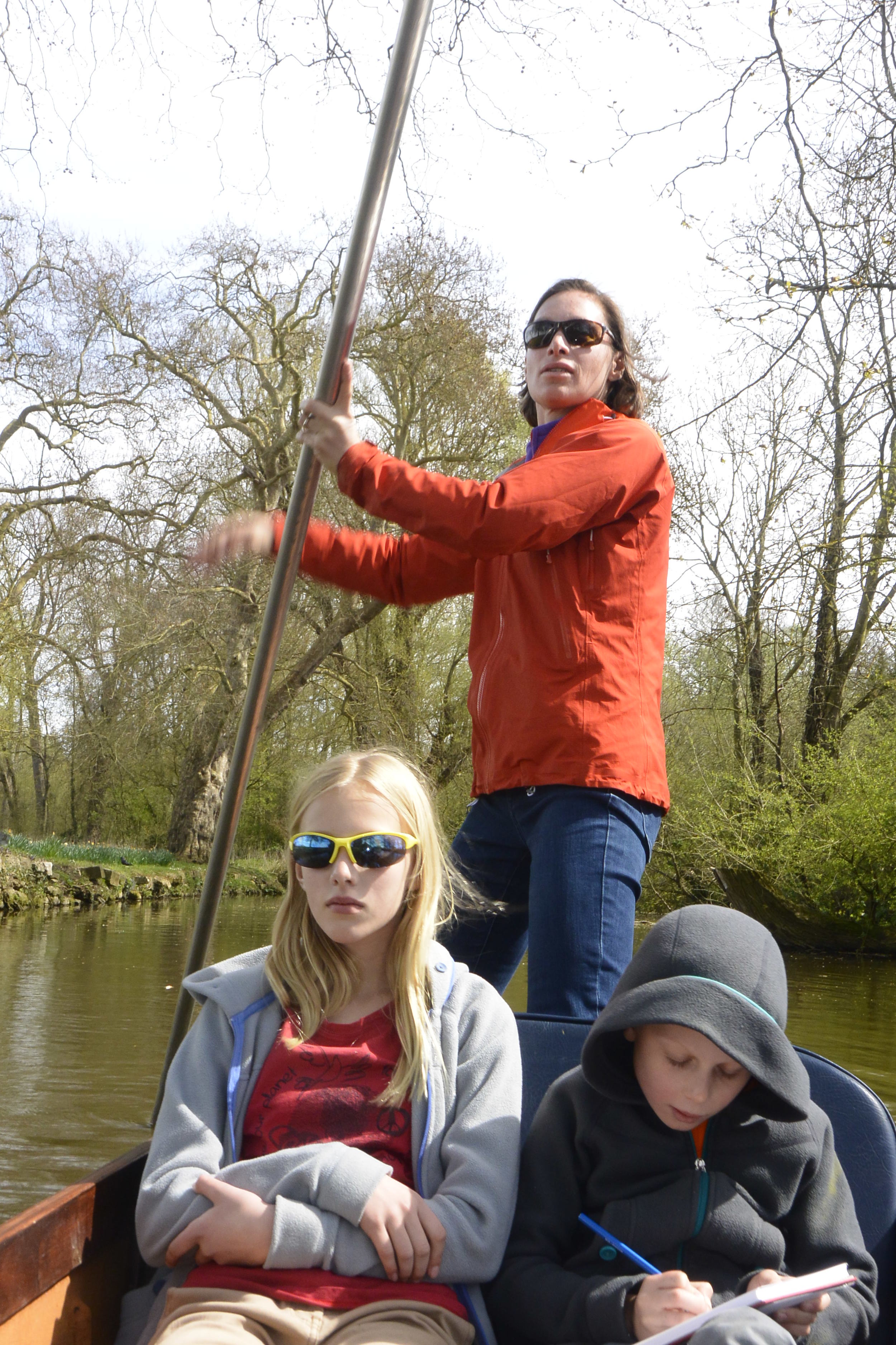
For us, adventures usually start when Trish and I can't agree on where we are, never mind where we need to go. We have, how shall I say, different approaches to navigation, perhaps reflecting our divergent approaches to life: optimist vs. pessimist, improvisor vs. planner, fearless vs. cautious, never wrong vs. ....  

Both are valid, he hastened to add, but given that we're both usually about 50% correct, finding our way home often requires some impartial triangulation. 

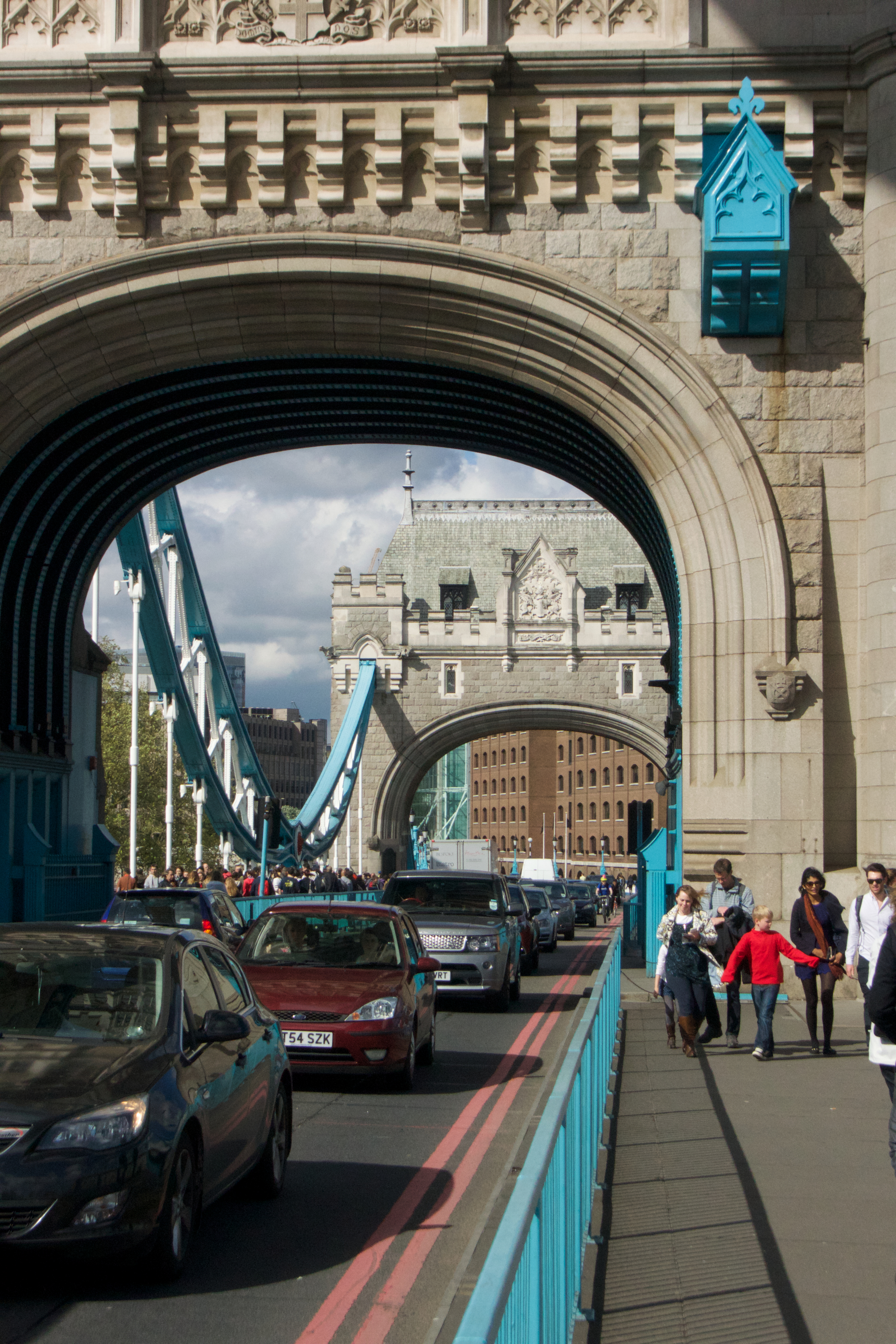
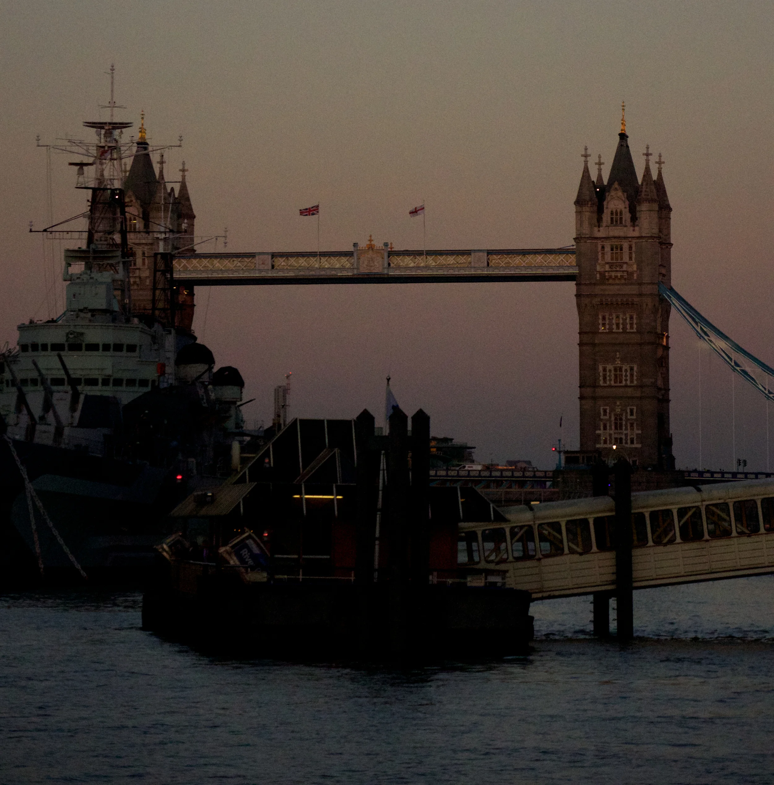
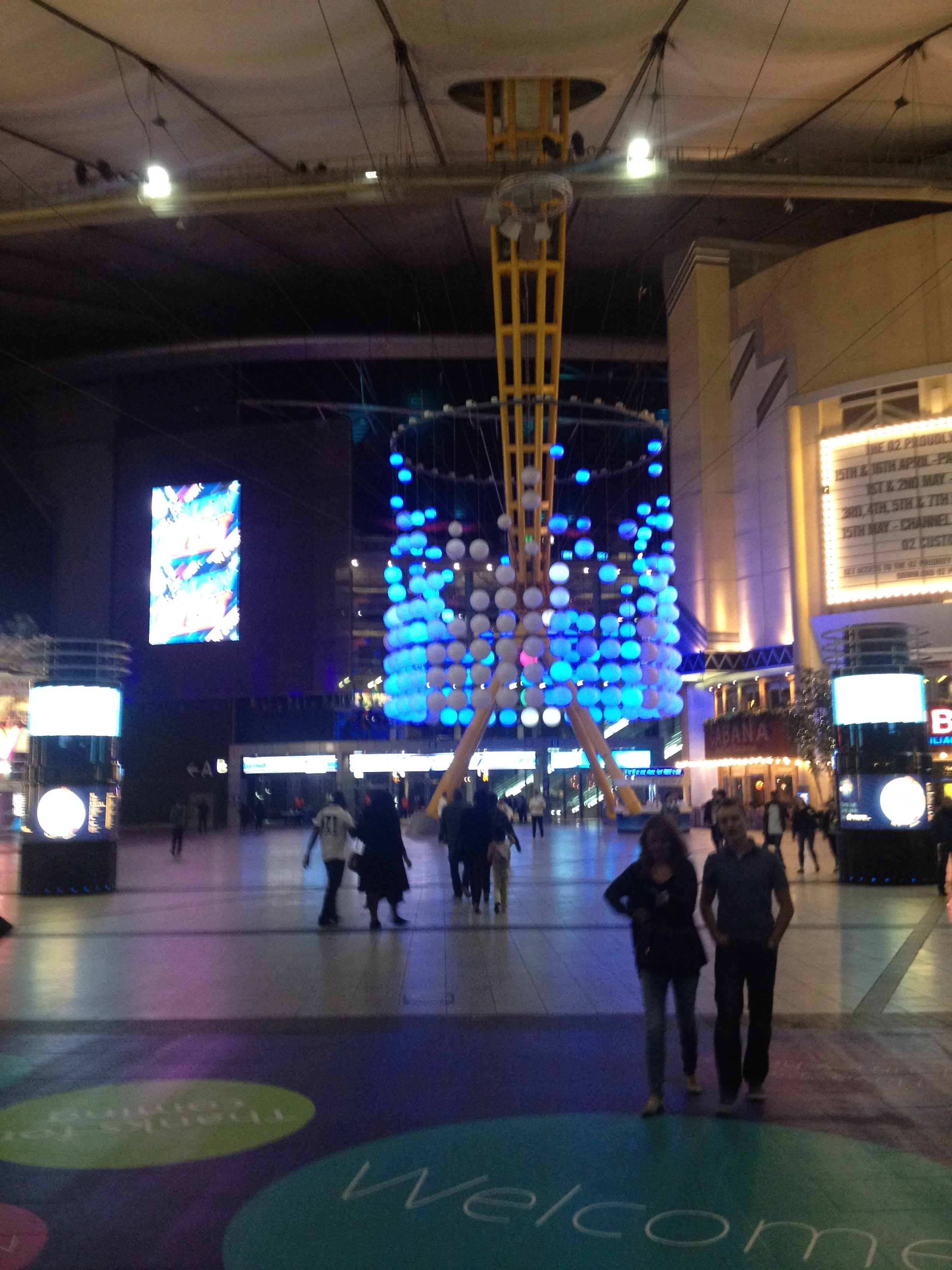
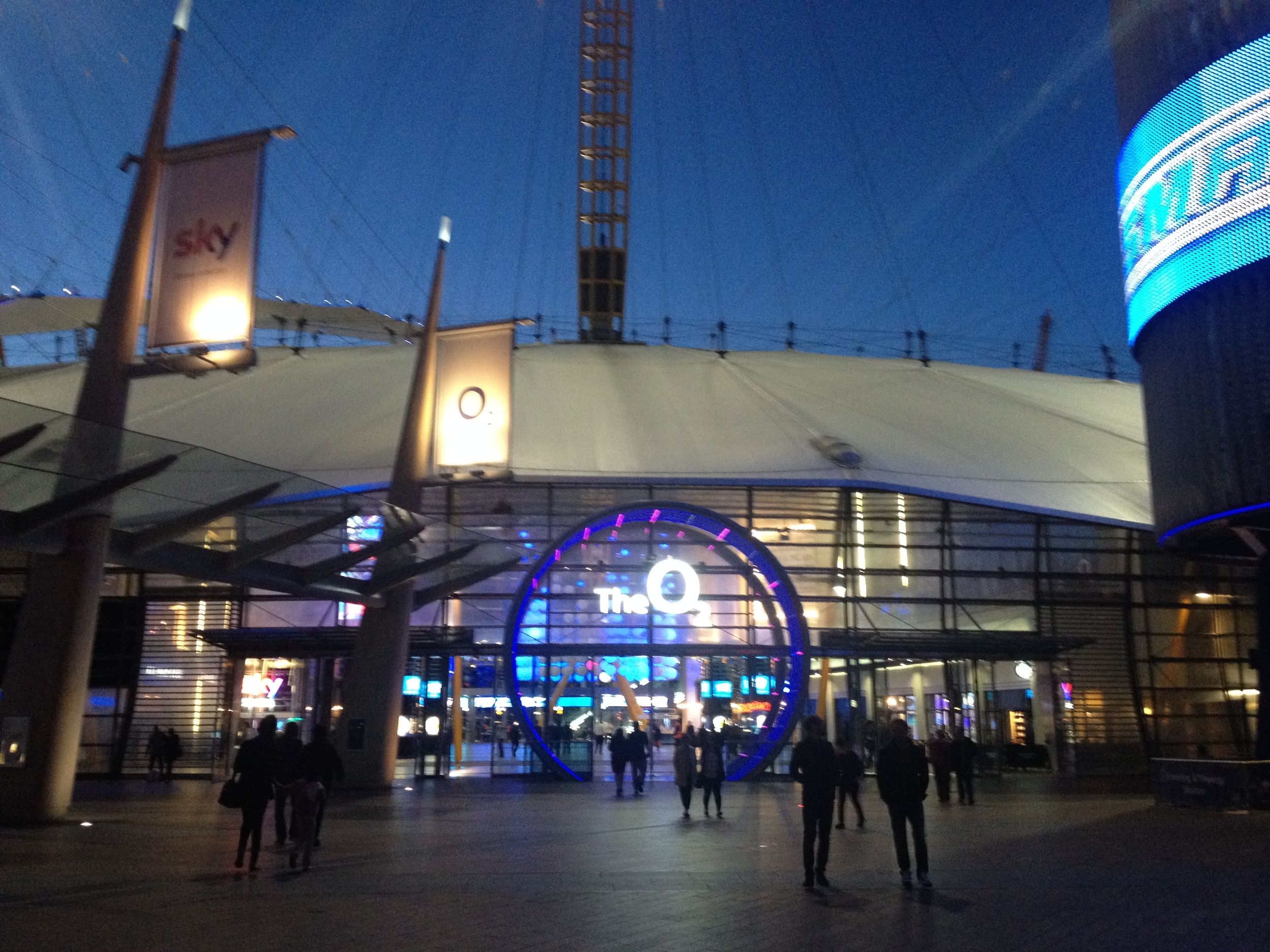
Thankfully, we've often been able to fall back on the Google Maps app to adjudicate. When it has worked, it has rescued us from the labyrinths of Beyoglu,or at least provided a trail of digital crumbs for us to trace our steps back home in Dar es Salaam. 

But other times, Dr. Google has just been plain wrong, for example:

  • the restaurant we had just walked 2 km to find apparently had long ago closed its doors; 
  • our Air BnB location in Marrakesh appeared in two different places depending where I pointed the phone;
  • the "map" for Stonetown turned out to be a static JPEG and the you-are-here dot never moved;

I also learned that somehow the bright folks at Mountainview never bothered to put the Marrakesh train station on Google maps -- it's there now, thanks to my feedback! 

Yet from this side of tranquility, I wonder if using Google Maps to find our way is kind of cheating.  Sure, it helps us get "Unlost" in that we then find where we wanted to go. But sometimes the more exciting resolution to Being Lost is Being Found (i.e. finding ourselves in a cool place, or suddenly having an experience that we never could have expected). That is the real pathway to adventure, although you may not appreciate it until weeks later. 


Our Travels, By Map

But no matter how good Google Maps is, it will never be as cool as the map that the Muppets used to travel to Paris. 

We haven't mastered that app yet. But usually when I travel anywhere, I make sure to pick up a good, large-format road map and then I trace my route with a highlighter as we go. I've kept many of these road-weary, dog-earred maps with the photo albums as another way of telling the story of where we've been.

This trip, I've also been geeking out with Google's My Maps feature to plan and document our travels. Below are some links to a few retrospective, blogposts with maps of where we've been so far. If you click on the Destination Pins on each map, you should see a hyperlink to any corresponding blog posts.

Happy trails!