Notes from The Underground

I've never been to a city where I've spent so much time underground. Or more precisely, on THE UNDERGROUND, London's famous network of subways and trains.
The Tube opened in 1863 and was the world's first underground train system. Over the years it has electrified and expanded and currently it boasts:
- 270 stations;
- 11 lines with 402 kilometres of track, 52% of which are actually above ground;
- 1.23 billion passenger rides in 2012/13, making it the 12th busiest transit system in the world) (Source: Wikipedia)
"The Tube" takes its nick-name from the cylindrical shape of tunnels, many of which were constructed by cutting in to the earth, laying the tracks and then building a round roof over top -- the so-called "cut and cover" method.
Travelling by Tube is a bit like being a gopher: you burrow this way and that way without having any sense of which direction you're going and then you pop out in a strange new place, dazed and blinking in the bright light of day. Or perhaps more accurately, it's like being an ant that queues up with all the other ants running hither and yon through the various tunnels, each grasping a crumb of something important to bring to the Queen. Of course, ants are more social than most English people because they greet each other.... But I digress. My point is that getting around this way gives you a somewhat disjointed experience of the city.
Finding Our 'Way Out' & About
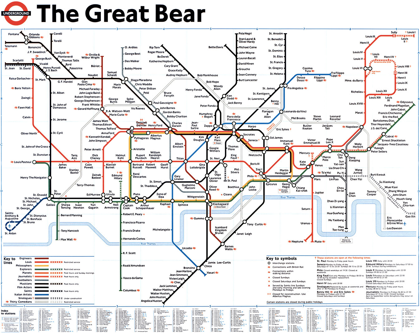
This disorientation is not necessarily improved by the pile-of-spaghetti that passes for a map of the Underground:
Exhibit A: The Map of the Underground. You are here....or there. Beats me.
The current Tube Map is based on the iconic, topological or schematic map by Harry Beck (1931), The map, as we've found out the hard way, is not to scale; it only shows each station's position relative to the next. Whether the stops are 200 m apart or 1 km, the spacing on the map doesn't change. I guess like any map, it needs to compromise some accuracy in order to show the important details.
Each Tube station is indicated by either a "tick" for standalone stops or an open circle if it is a junction. Their names echo the classic English names you've likely heard in school and in movies: London Bridge, Charring Cross, Piccadilly Circus, Baker Street (!), Waterloo... They also include:
- Canada Water, Canary Wharf, East India Quay, West India Quay-- ports on the Thames where goods from different British colonies or trading partners were unloaded;
- three stations with the name "Stratford": Stratford, Stratford International, and Stratford High Street -- but all of them, we learned were nowhere near the Stratford;
- four stops called "Clapham" -- Clapham North, Clapham South, Clapham High Street, & Clapham Common
- five stops with "Ruslip" -- Ruslip, Ruslip Manor, West Ruslip, South Ruslip, Ruslip Gardens
- six stops with "Acton"....well, you get the point. But you have to be very precise with your directions.
- Finchley Road and Frognal ... "Frognal": I just like that name. Not to be confused with Frognal House....."
- Tooting Bec and Tooting Broadway...not sure what goes on there.
Combining track and station names can lead to some amusing directions, for example, "Take the Northern Line west until you get to Clapham South." No wonder we get lost!
Fortunately, we've been able to use a combination of Google Maps and a few dedicated Tube apps to navigate our way, at least until we go, er, underground where there is no cell service. Then you have to fall back on Beck's map or one of its many detailed-excerpts that are posted in the train cars, albeit reoriented into a neat horizontal strip that will fit above the windows. A polite, recorded message will then tell you what the next stop is, what other lines you can transfer to, and of course, to be sure to "Please mind the gap".
Tube stations themselves are full of advertising -- London is the place where all musicals go to die, but instead keep playing forever -- and instructions, constant instructions everywhere you look: "Mind the Gap", "Keep Left", "Keep Right" "Keep Clear of the Doors", or "Way Out" (exit). The elevator, sorry "lift", at our local station even includes a recording for how to ascend correctly. The voice reading the instructions has a very posh Bri-tish accent that sounds suspiciously like Her Royal Majesty. Maybe she needed the pocket change? Dunno.
The Tube is quintessentially English and clearly an integral part of the lives of Londoners. Indeed, this city of 8 million+ wouldn't be possible without it. (I'm not sure that they can all fit above ground, come to think of it). Life underground precedes with typical English order and politeness. Queueing etiquette is strictly observed, as is the norm of not looking at, never mind speaking with, strangers at all costs. Personal privacy is apparently highly valued here.
Contrast this with our experience of riding in dala-dalas (mini-buses) in Tanzania: 18 adults squashed into a mini-van, cheek-to-cheek in the heat and humidity of Dar es Salaam. It would be awkward not to talk with someone whom you're on such intimate terms.
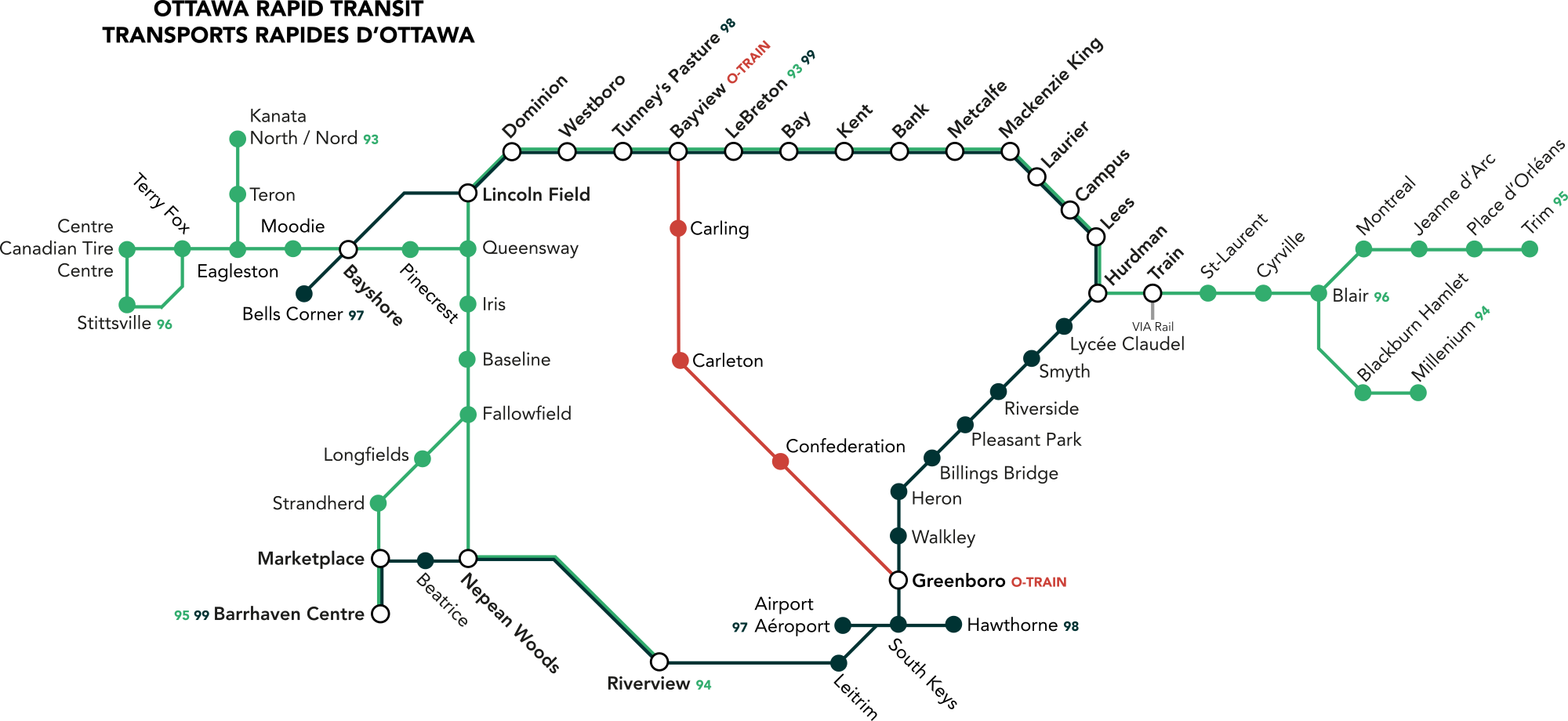
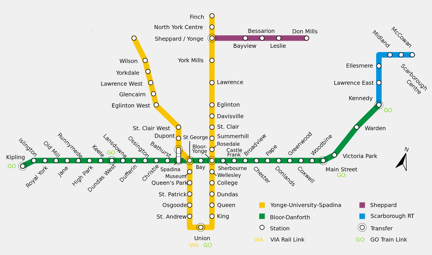
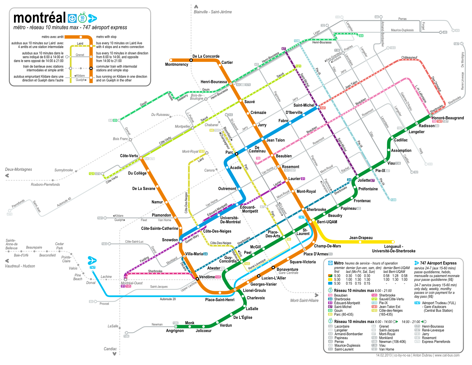
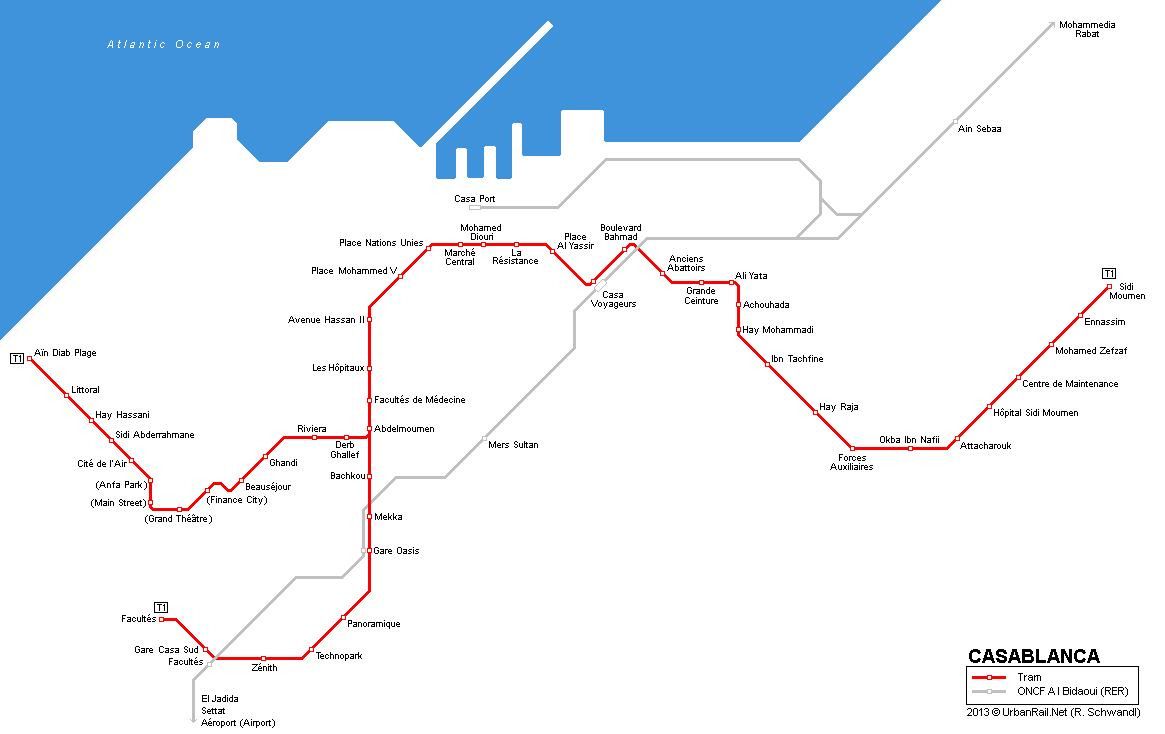
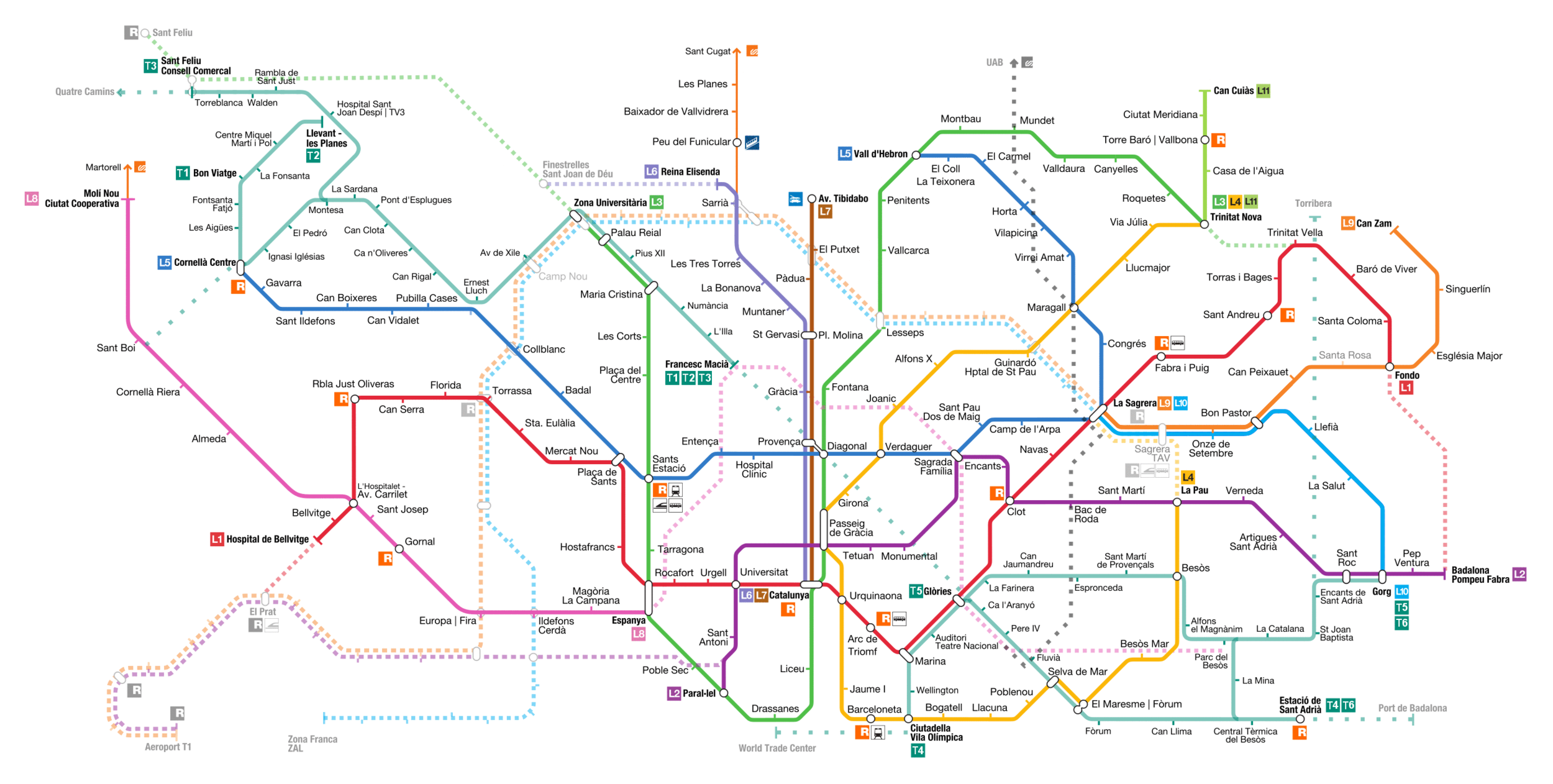
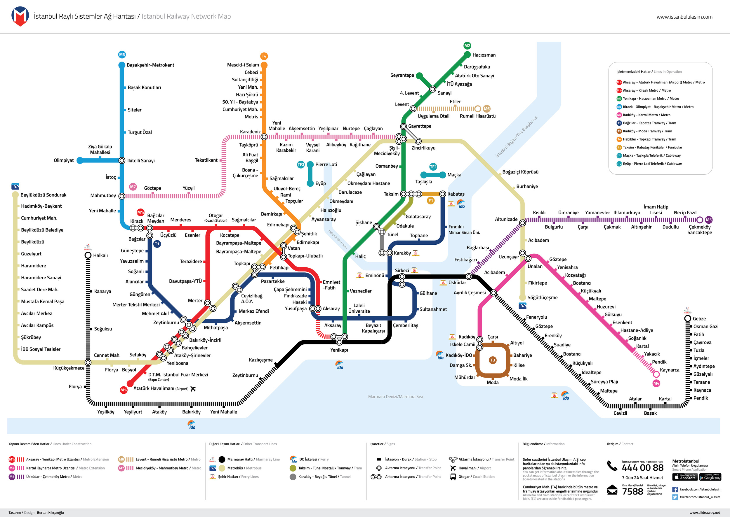
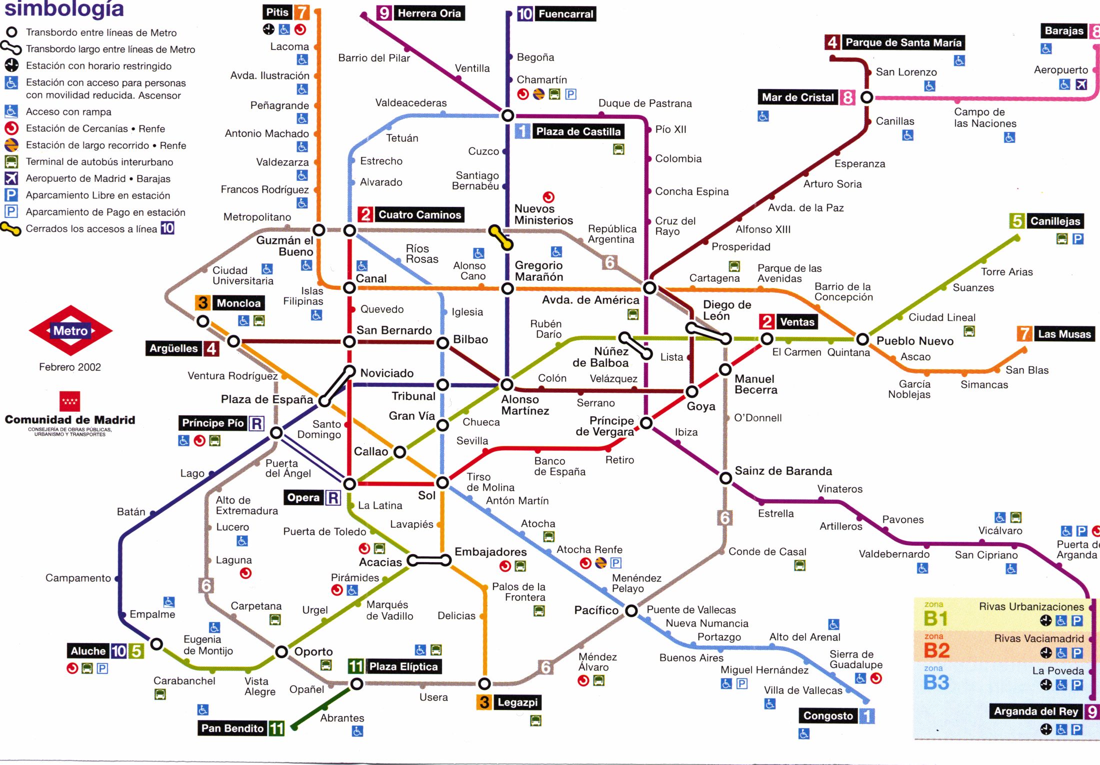
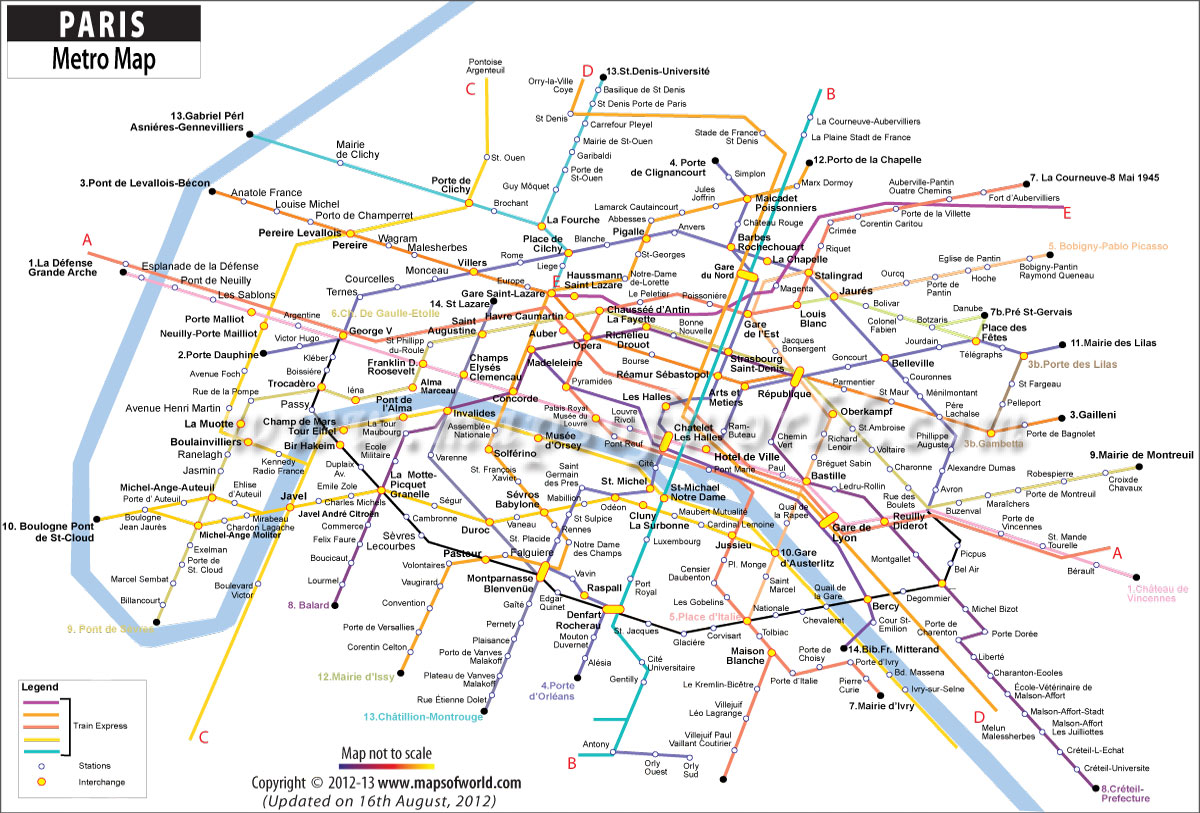
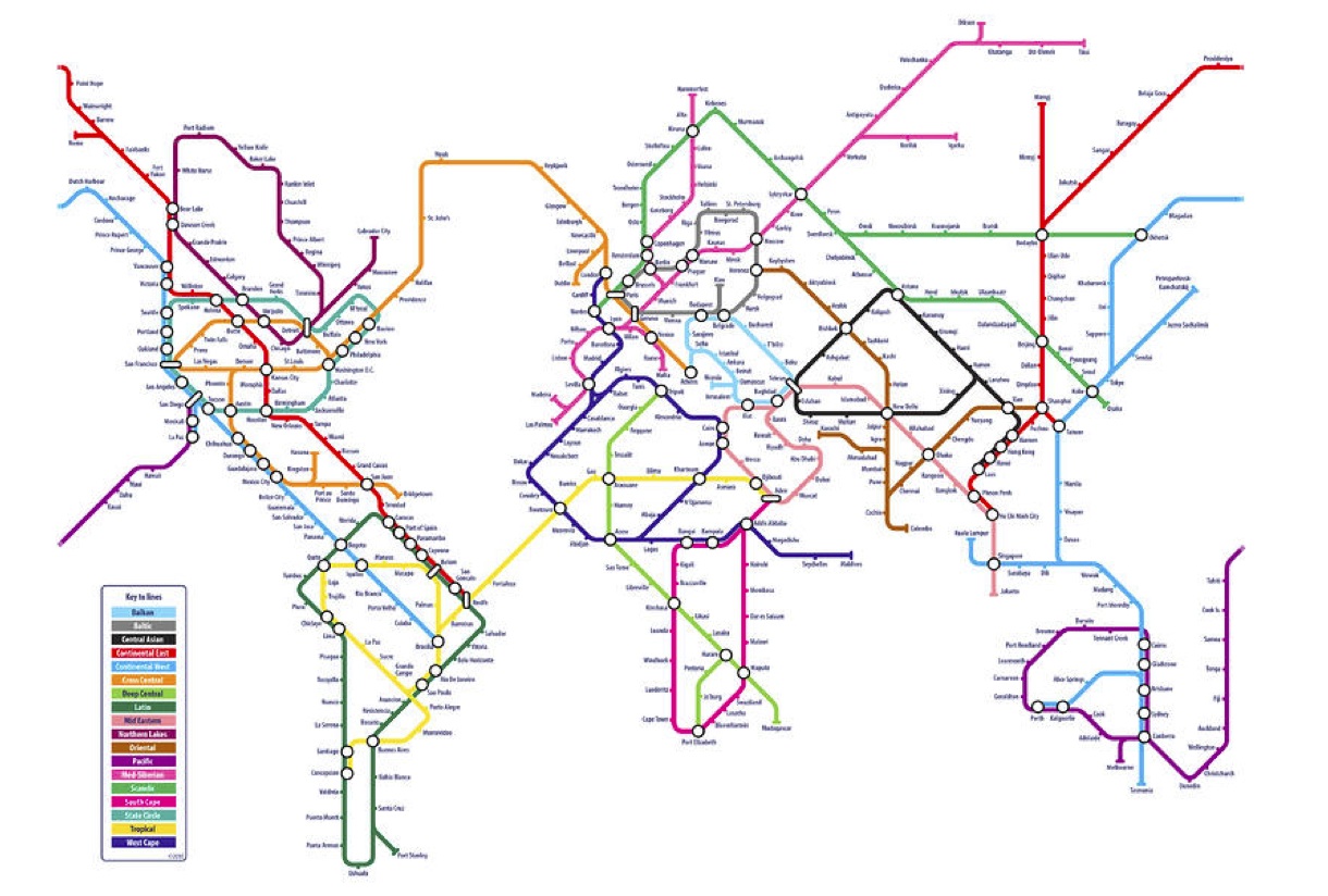
This is London...Next Stop: The World
The iconic Tube Map has inspired other transit systems around the world to copy its style and methods. Here are some maps from a few places that we have visited (or we're hoping to visit) on this trip: